
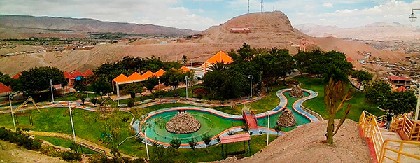
Information about the city Juliaca
Juliaca is the capital of San Roman Province in the Puno Region of southeastern Peru. It is the region's largest city with a population of 225,146 inhabitants (2007). On the Altiplano, Juliaca is 3,825 metres (12,549 ft) above sea level, is located on the Collao Plateau and is northwest of Lake Titicaca (45 km). It is the largest trade center in the Puno region. Juliaca is near Chacas lagoon, the Maravillas river, and near the ruins of Sillustani. The city hosts Juliaca's Carnival each year between February and March. During this very popular event participants, dressed in colorful costumes, gather on the streets to dance in the style of the Collao Plateau. Saint Sebastian's feast occurs on January 20 of every year. Juliaca's citizens rely on cars, trains, and bicycles. It is a major transit point in the region and has strong ties with Peru's southern cities, including Arequipa, Puno, Tacna, Cuzco, Ilo, and with La Rinconada and Bolivia. Like Chicago, Illinois, it is nicknamed "The Windy City", because of the city's location on the windy Collao Plateau. It is also called the "Sock City" or "Knitting City" because Juliaca was a major center of sock, sweater, and handicraft production. Now the production of clothes, wool and fabrics are industrial processes. Juliaca has a subtropical highland climate (Köppen Cwb) bordering on an alpine tundra climate with cool to cold temperatures most of the year. The average annual precipitation is 610 mm. Winters are dry with very cold nights and mornings, and warm afternoons.
Information about the city Moquegua
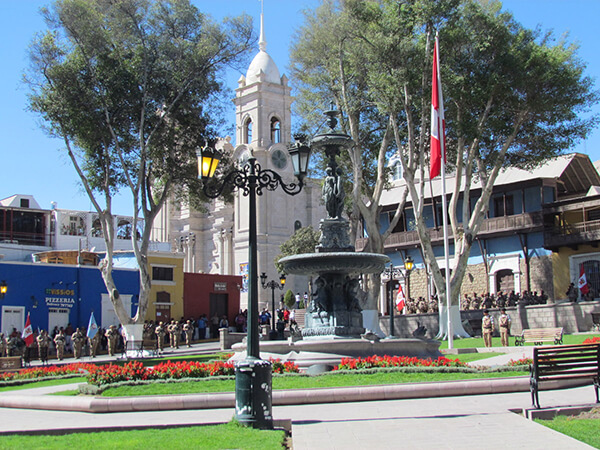
Moquegua, founded by the Spanish colonists as Villa de Santa Catalina de Guadalcázar del Valle de Moquegua) is a city in southern Peru, located in the Moquegua Region, of which it is the capital. It is also capital of Mariscal Nieto Province and Moquegua District. It is located 1144 kilometers south of the capital city of Lima.
This region was occupied for thousands of years by successive cultures of indigenous peoples. The Wari culture built numerous monuments, and developed terraced fields to support crop cultivation on hillsides hundreds of years before the Inca conquered them and expanded their territory into this area. Cerro Baúl is the remains of a Wari monumental site, on top of a hill outside of Moquegua.
According to Inca Garcilaso de la Vega, the Inca Emperor Mayta Cápac organized the military expedition that extended the Inca domains to the shore of the Pacific. They overcame other indigenous peoples in the 15th century; in the next century, they were conquered by the Spanish.
There is no definite information about the year of the city's founding by the Spanish. Tradition holds that the colonial city was founded on November 25, 1541, by Pedro Cansino and his wife Josefina de Bilbao.
Moquegua's economy is largely based on mining. Resources include copper, silver, gold and molybdenum. Cuajone and part of Toquepala Mine are located in the Mcal. Nieto Province. A copper smelter and refinery to treat copper concentrates from those mines is located in Ilo province.