
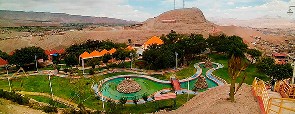
Information about the city Moquegua
Moquegua, founded by the Spanish colonists as Villa de Santa Catalina de Guadalcázar del Valle de Moquegua) is a city in southern Peru, located in the Moquegua Region, of which it is the capital. It is also capital of Mariscal Nieto Province and Moquegua District. It is located 1144 kilometers south of the capital city of Lima.
This region was occupied for thousands of years by successive cultures of indigenous peoples. The Wari culture built numerous monuments, and developed terraced fields to support crop cultivation on hillsides hundreds of years before the Inca conquered them and expanded their territory into this area. Cerro Baúl is the remains of a Wari monumental site, on top of a hill outside of Moquegua.
According to Inca Garcilaso de la Vega, the Inca Emperor Mayta Cápac organized the military expedition that extended the Inca domains to the shore of the Pacific. They overcame other indigenous peoples in the 15th century; in the next century, they were conquered by the Spanish.
There is no definite information about the year of the city's founding by the Spanish. Tradition holds that the colonial city was founded on November 25, 1541, by Pedro Cansino and his wife Josefina de Bilbao.
Moquegua's economy is largely based on mining. Resources include copper, silver, gold and molybdenum. Cuajone and part of Toquepala Mine are located in the Mcal. Nieto Province. A copper smelter and refinery to treat copper concentrates from those mines is located in Ilo province.
Information about the city Cañete (Perú)
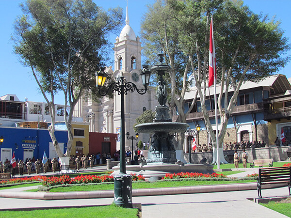
San Vicente de Cañete, commonly known simply as Cañete, is a town in Peru, which is the capital of the Cañete Province, in the Lima Region. With a population of 25,829 (1999 estimate), Cañete is the main town of the San Vicente de Cañete District.
The warm and peaceful town of Cañete is located just one and a half hour to the south of Lima (144 km) and serves, for tourists, primarily as a gateway to the Lunahuaná District. The Plaza de Armas lies on 2 de Mayo, a few blocks inland from the spot on the Pan-American Highway, where buses pause for passengers to get on or off. All buses heading south from Lima or north to Lima on the Pan-American Highway pass through Cañete. This is one of the most important homes of the most representative liquor from Peru: the Pisco.
Cerro Azul, Peru is a district north of the city centre San Vicente de Cañete.
The first inhabitants of these lands were the Huarcos. Later, the area was inhabited by descendants of slaves forced to work on the plantations. The slaves and their descendents lived here. The slaves arrived from Guinea, the Congo, and Angola, brought to the Peruvian coast during the seventeenth and eighteenth centuries to work in the cotton and sugar cane fields and in the vineyards.
It also has a district called Asia which has a lot of beaches which people from Lima rent houses and there is also a mall called Sur Plaza Boulevard.