
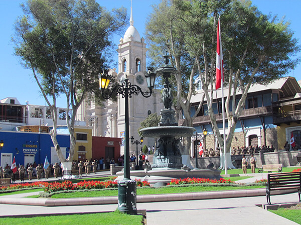
Information about the city Moquegua
Moquegua, founded by the Spanish colonists as Villa de Santa Catalina de Guadalcázar del Valle de Moquegua) is a city in southern Peru, located in the Moquegua Region, of which it is the capital. It is also capital of Mariscal Nieto Province and Moquegua District. It is located 1144 kilometers south of the capital city of Lima.
This region was occupied for thousands of years by successive cultures of indigenous peoples. The Wari culture built numerous monuments, and developed terraced fields to support crop cultivation on hillsides hundreds of years before the Inca conquered them and expanded their territory into this area. Cerro Baúl is the remains of a Wari monumental site, on top of a hill outside of Moquegua.
According to Inca Garcilaso de la Vega, the Inca Emperor Mayta Cápac organized the military expedition that extended the Inca domains to the shore of the Pacific. They overcame other indigenous peoples in the 15th century; in the next century, they were conquered by the Spanish.
There is no definite information about the year of the city's founding by the Spanish. Tradition holds that the colonial city was founded on November 25, 1541, by Pedro Cansino and his wife Josefina de Bilbao.
Moquegua's economy is largely based on mining. Resources include copper, silver, gold and molybdenum. Cuajone and part of Toquepala Mine are located in the Mcal. Nieto Province. A copper smelter and refinery to treat copper concentrates from those mines is located in Ilo province.
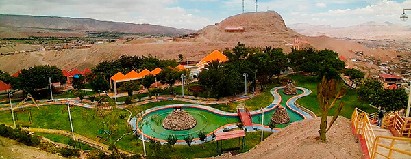
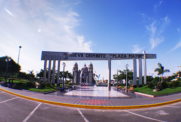
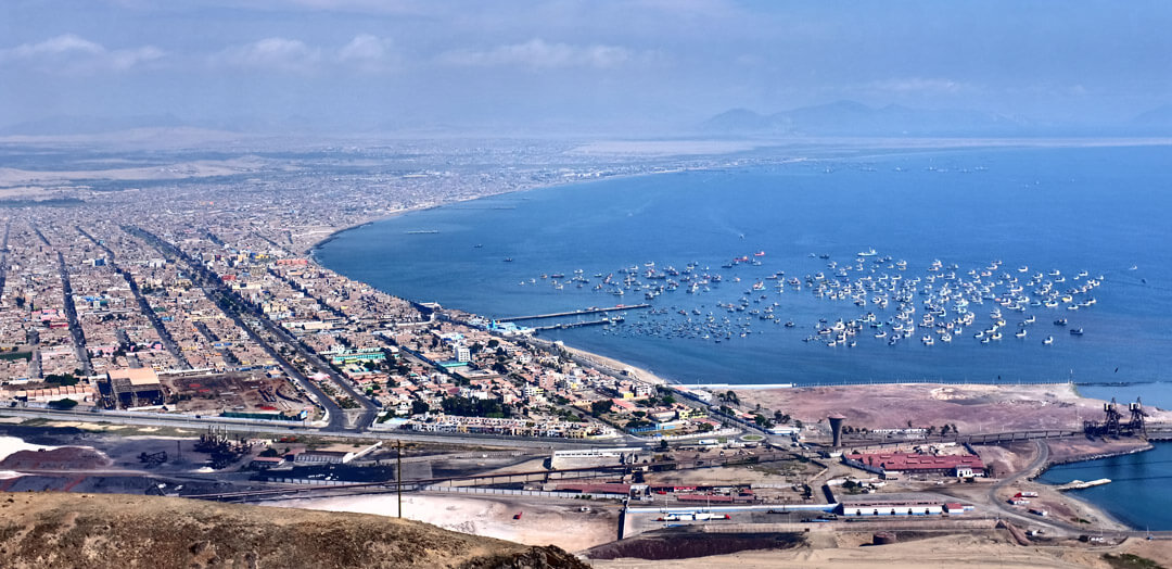
Information about the city Chimbote
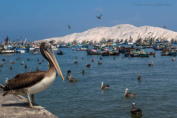
Chimbote is the largest city in the Ancash Region of Peru, and the capital of both Santa Province and Chimbote District.
The city is located on the coast in Chimbote Bay, 130 km south of Trujillo and 420 kilometers (260 mi) north of Lima on the North Pan-American highway. It is the start of a chain of important cities on the Peruvian north coast like Trujillo, Chiclayo and Piura. The advantages of this geographic location made Chimbote into a transshipment junction for the Santa River valley.
In 1835, when General Santa Cruz granted Chimbote's first official acknowledgement, Chimbote was a village of fishermen with a population of no more than 800.
In 1871, an agreement was made with Henry Meiggs to build a railroad towards the interior of the country. Chimbote was classified as a port, even though its population remained around 1,000. The opening of the Pan-American Highway created easy access to Lima in the 1930s. In 1881, there was an attempt to cede a naval base to the U.S. in Chimbote Bay by Peru. The deal was blocked by Chile who sent its marines to occupy Chimbote after learning of the deal to cede a naval base to the U.S. Navy.
In 1940, Chimbote was still a small fishing port, with only 2,400 inhabitants in an urbanized area of 80 hectares (0.80 km2; 0.31 sq mi). In 1943, the government created the Corporación Peruana del Santa (Peruvian Corporation of Santa). This entity assumed ownership of the railroad, made improvements to the port, and began work on a hydroelectric power station on the Río Santa (in the Cañón del Pato [Duck Canyon] in Huallanca). The first stage of the power station was inaugurated in 1958; also that year, an iron and steel plant was built. By 1943, the first companies dedicated to the extraction of liver from the Pacific bonito fish arrived. This liver was sold for a high price abroad due to World War II.