
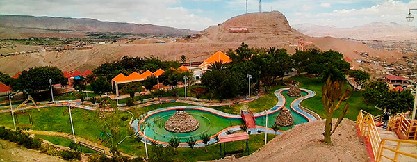
Information about the city Pacasmayo
Pacasmayo is a city in Northern Peru, in the Pacasmayo province, La Libertad Region. It is located 108 km north of Trujillo city. Pacasmayo has been inhabited for over 10,000 years by groups of people collecting their food from the sea. Since before anyone can remember, the beaches of "El Lorito", "El Techito" and "La Peña Larga" have provided food sources to populate Pacasmayo. With the available food from the sea and the forests in the arid mountains (close to the river Jequetepeque) which provides carob trees (or locust beans), wool, and diverse species of animals; Pacasmayo (or Pacasca Mayo in Quechuan) was chosen as a settling place for small tribal groups.
By order of Virrey Teodoro de Croix in the year 1775, the Spanish conquistadors founded Pacasmayo. Since that time it became an important landing for the Spanish crown. The year of 1871 began the construction of the Pacasmayo dock or "muelle de Pacasmayo" and the train Pacasmayo-Chilete, which turned into an important Peruvian coastal port. This work of engineering began the golden age of Pacasmayo which lasted until 1967, the year when the railway stopped running. Since that time, the commercial activity has decreased to the point where now the dock, just as the railway station, are historic monuments. They are evidence of a glorious past that brought with it an economic boom to the city.
The company “Cementos Pacasmayo SA” (Pacasmayo Concrete Inc.), which began in 1959, quickly became the new axis upon which the economy of the city developed. Its presence promoted the development of many economic services such as businesses that transport heavy loads, banks, and commercial stores. All depended on this central industry.
Since the end of the 20th century, the breakwater area, El Faro (The Lighthouse), dominated as the “largest, most navigable wave in the world” and has gained popularity among water-sport fans. At that beach, one can practice surfing, windsurfing, kitesurfing, and paddle-boarding which promotes the growth of foreign visitors who arrive from diverse parts of the world to enjoy these waves.
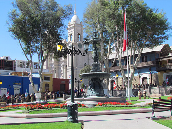
Information about the city Moquegua
Moquegua, founded by the Spanish colonists as Villa de Santa Catalina de Guadalcázar del Valle de Moquegua) is a city in southern Peru, located in the Moquegua Region, of which it is the capital. It is also capital of Mariscal Nieto Province and Moquegua District. It is located 1144 kilometers south of the capital city of Lima.
This region was occupied for thousands of years by successive cultures of indigenous peoples. The Wari culture built numerous monuments, and developed terraced fields to support crop cultivation on hillsides hundreds of years before the Inca conquered them and expanded their territory into this area. Cerro Baúl is the remains of a Wari monumental site, on top of a hill outside of Moquegua.
According to Inca Garcilaso de la Vega, the Inca Emperor Mayta Cápac organized the military expedition that extended the Inca domains to the shore of the Pacific. They overcame other indigenous peoples in the 15th century; in the next century, they were conquered by the Spanish.
There is no definite information about the year of the city's founding by the Spanish. Tradition holds that the colonial city was founded on November 25, 1541, by Pedro Cansino and his wife Josefina de Bilbao.
Moquegua's economy is largely based on mining. Resources include copper, silver, gold and molybdenum. Cuajone and part of Toquepala Mine are located in the Mcal. Nieto Province. A copper smelter and refinery to treat copper concentrates from those mines is located in Ilo province.