
Information about the city Paita
Paita is a city in northwestern Peru. It is the capital of the Paita Province which is in the Piura Region. It is a leading seaport in that region. It is located 1,089 km northwest of the country's capital Lima and 57 km northwest of the regional capital of Piura. Starting in 2014, it has entertained ideas for the separation Paita from Piura Region, proclaiming itself "Miguel Grau region".
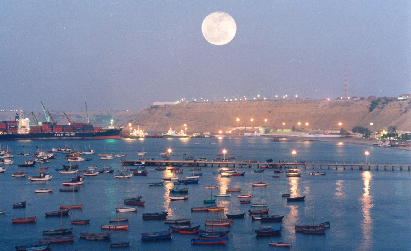
The seaport city Paita is located at WikiMiniAtlas05°05′28″S 81°06′23″W on a small peninsula south of the mouth of the Río Chira on an area of 1,785 km². Paita faces on the Bay of Paita, and is sheltered from southerly winds by a headland called Punta Paita and by a large hill called Silla de Paita. 90 km to the south east is the capital of the Piura Region, Piura, and 160 km to the south is located Chiclayo, commercial centre of the Lambayeque region.
In 1875, a railway line of 97 km length was completed from Piura to Paita, but it was destroyed in the war with Chile from 1879 to 1883 and reconstructed in 1884. A street railway opened on 30 August 1891 and ran until the late 1920s.
Today the port of Paita is Peru's fifth largest port and an important container port. It is located in a geopolitically important position on the Pacific coast.
Paita has one of the best natural harbours of the Peruvian coast and runs regular mail steamers between Valparaíso and Panama.
Information about the city Cañete (Perú)
San Vicente de Cañete, commonly known simply as Cañete, is a town in Peru, which is the capital of the Cañete Province, in the Lima Region. With a population of 25,829 (1999 estimate), Cañete is the main town of the San Vicente de Cañete District.
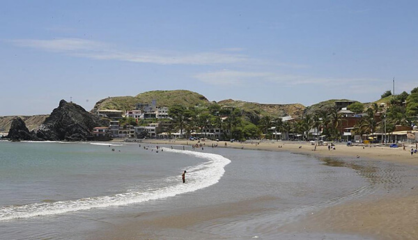
The warm and peaceful town of Cañete is located just one and a half hour to the south of Lima (144 km) and serves, for tourists, primarily as a gateway to the Lunahuaná District. The Plaza de Armas lies on 2 de Mayo, a few blocks inland from the spot on the Pan-American Highway, where buses pause for passengers to get on or off. All buses heading south from Lima or north to Lima on the Pan-American Highway pass through Cañete. This is one of the most important homes of the most representative liquor from Peru: the Pisco.
Cerro Azul, Peru is a district north of the city centre San Vicente de Cañete.
The first inhabitants of these lands were the Huarcos. Later, the area was inhabited by descendants of slaves forced to work on the plantations. The slaves and their descendents lived here. The slaves arrived from Guinea, the Congo, and Angola, brought to the Peruvian coast during the seventeenth and eighteenth centuries to work in the cotton and sugar cane fields and in the vineyards.
It also has a district called Asia which has a lot of beaches which people from Lima rent houses and there is also a mall called Sur Plaza Boulevard.