
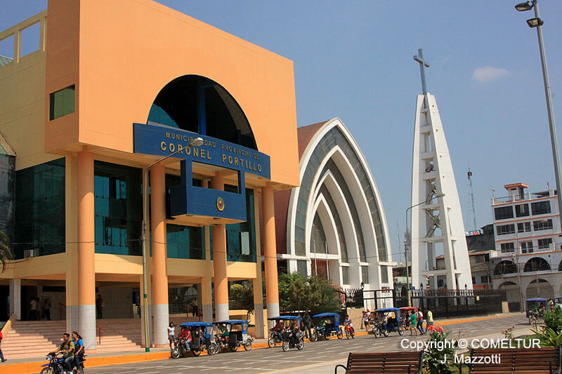
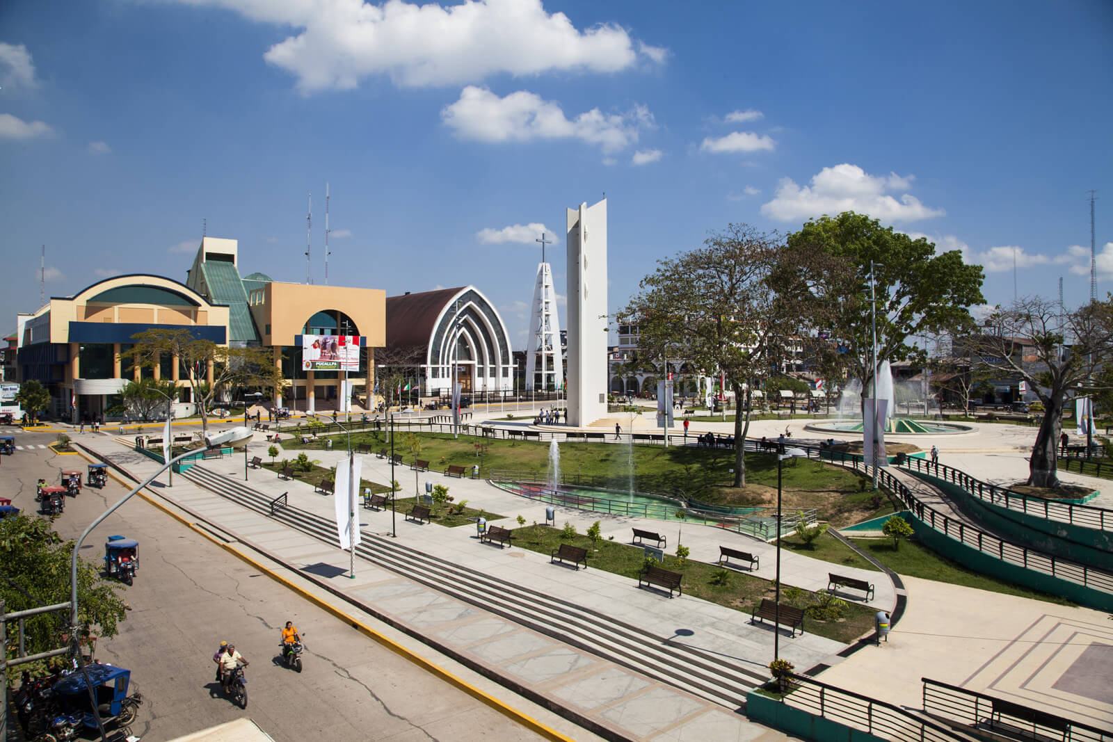
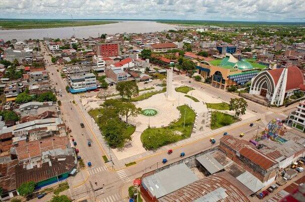
Information about the city Pucallpa
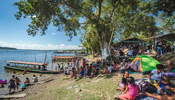
Pucallpa is a city in eastern Peru located on the banks of the Ucayali River, a major tributary of the Amazon River. It is the capital of the Ucayali region, the Coronel Portillo Province and the Calleria District.
Pucallpa was founded in the 1840s by Franciscan missionaries who settled several families of the Shipibo-Conibo ethnic group. For several decades it remained a small settlement as it was isolated from the rest of the country by the Amazon Rainforest and the Andes mountain range. From the 1880s through the 1920s a railway project to connect Pucallpa with the rest of the country via the Ferrocarril Central Andino was started and dropped several times until it was finally abandoned. Pucallpa's isolation finally ended in 1945 with the completion of a highway to Lima through Tingo Maria. The highway allowed the commercialization of regional products to the rest of the country, thus improving the economic outlook of the region and its capital, Pucallpa. However, the heavy rainfalls of the Amazon Rainforest remain a problem as they erode the highway and can even undermine it by causing flash floods. Pucallpa is served by air through the Captain Rolden International Airport and by river through its port Pucallpillo near the center of the city. During the high water season, the floating ports of La Hoyada and Puerto Italia are used for riverine communications. Pucallpa is connected by road to Lima via the cities Huánuco and Cerro de Pasco. The San Lorenzo Megaport Project proposes to connect Lima with the Atlantic via a rail connection to Pucallpa and the Amazon.
Information about the city Paita
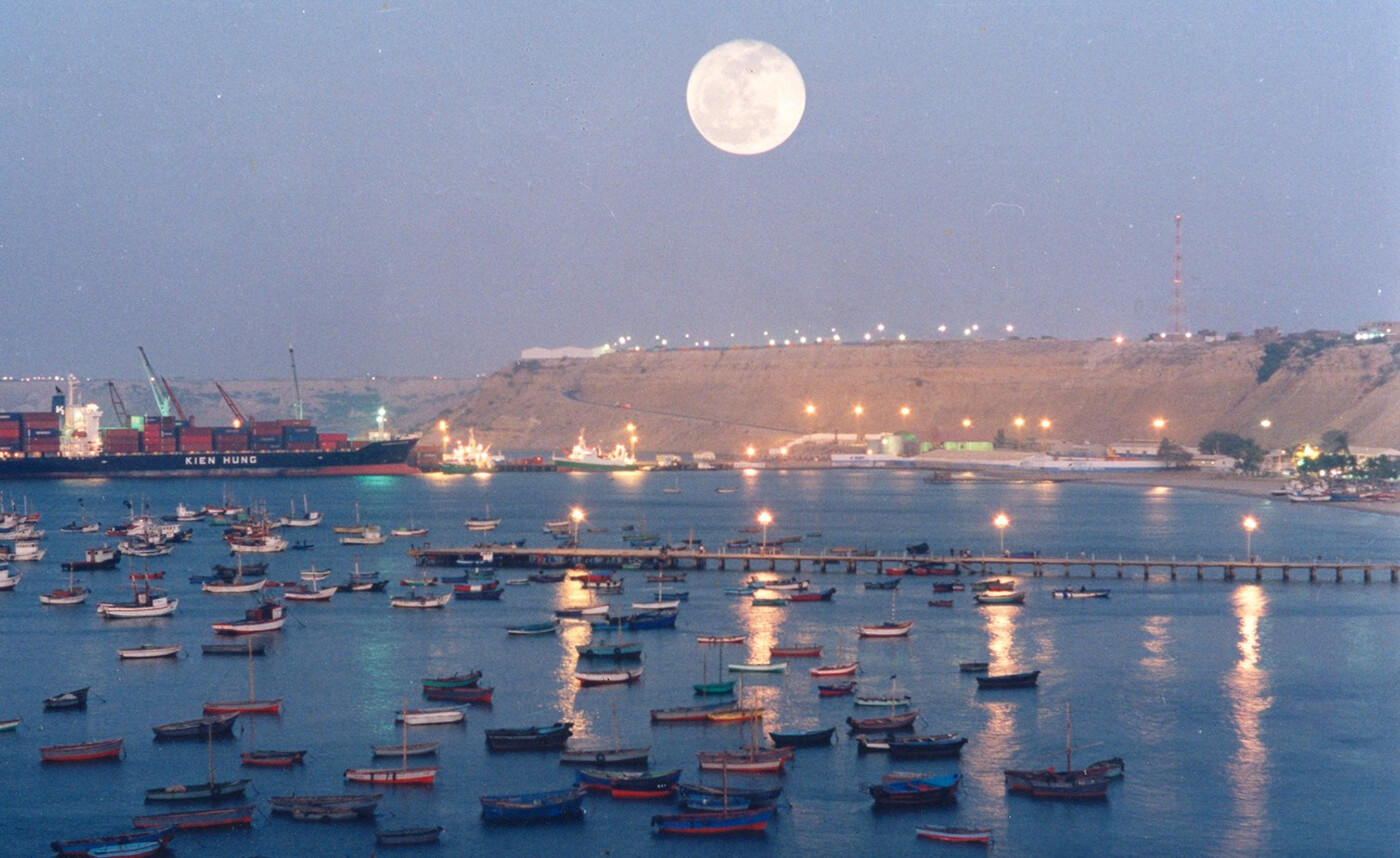
Paita is a city in northwestern Peru. It is the capital of the Paita Province which is in the Piura Region. It is a leading seaport in that region. It is located 1,089 km northwest of the country's capital Lima and 57 km northwest of the regional capital of Piura. Starting in 2014, it has entertained ideas for the separation Paita from Piura Region, proclaiming itself "Miguel Grau region".
The seaport city Paita is located at WikiMiniAtlas05°05′28″S 81°06′23″W on a small peninsula south of the mouth of the Río Chira on an area of 1,785 km². Paita faces on the Bay of Paita, and is sheltered from southerly winds by a headland called Punta Paita and by a large hill called Silla de Paita. 90 km to the south east is the capital of the Piura Region, Piura, and 160 km to the south is located Chiclayo, commercial centre of the Lambayeque region.
In 1875, a railway line of 97 km length was completed from Piura to Paita, but it was destroyed in the war with Chile from 1879 to 1883 and reconstructed in 1884. A street railway opened on 30 August 1891 and ran until the late 1920s.
Today the port of Paita is Peru's fifth largest port and an important container port. It is located in a geopolitically important position on the Pacific coast.
Paita has one of the best natural harbours of the Peruvian coast and runs regular mail steamers between Valparaíso and Panama.