
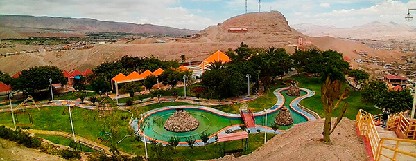
Information about the city Puerto Maldonado
Puerto Maldonado is a city in southeastern Peru in the Amazon rainforest 55 kilometres (34 mi) west of the Bolivian border; located at the confluence of the Tambopata and Madre de Dios rivers, the latter of which joins the Madeira River as a tributary of the Amazon. It is the capital of the Madre de Dios Region.
Nearby are the Manú National Park, Tambopata National Reserve, and Bahuaja-Sonene National Park, which have been established to protect natural resources. These are some of the most pristine primary rain forests in the world. They include several oxbow lakes and clay licks, where hundreds of birds, including macaws, feed on clay.
Puerto Maldonado is in the tropical Amazon Basin. The climate is hot and humid at all times. The average annual temperature is 26 °C (79 °F) with the months of August and September being the hottest. Annual rainfall exceeds 1,000 millimetres (3.3 ft). The wet season is from October to April. The main part of the town is located on a slightly elevated area that does not normally flood in the wet season. Road travel often becomes impossible during this time. A low season occurs between June and August.
The chief industries in Puerto Maldonado are logging, artisanal small-scale gold mining,[8] Brazil nut collecting, boat building and eco-tourism. The area is virtually logged out; only one mill remains. The area was exploited for rubber in the late 19th-century and early 20th-century rubber boom, but South American production was undercut by the industry developed in southeast Asia. Rubber collection has long since ended.
At least 30,000 gold miners are active in the region around Puerto Maldonado.[8] Legislation in the European Union in the 21st century resulted in putting hundreds of Brazil nut collectors out of work, together with the crew of the associated local factory, as it raised tariffs against the product.
Tourism and related boat construction are currently the major sources of income in the economy. There are several tourist eco-lodges around Puerto Maldonado and in the reserves.
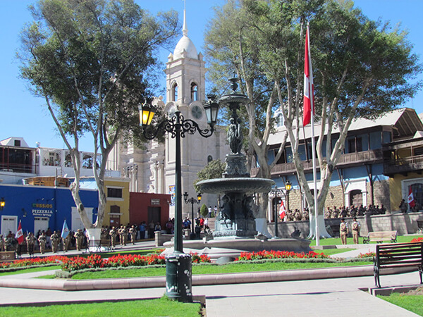
Information about the city Moquegua
Moquegua, founded by the Spanish colonists as Villa de Santa Catalina de Guadalcázar del Valle de Moquegua) is a city in southern Peru, located in the Moquegua Region, of which it is the capital. It is also capital of Mariscal Nieto Province and Moquegua District. It is located 1144 kilometers south of the capital city of Lima.
This region was occupied for thousands of years by successive cultures of indigenous peoples. The Wari culture built numerous monuments, and developed terraced fields to support crop cultivation on hillsides hundreds of years before the Inca conquered them and expanded their territory into this area. Cerro Baúl is the remains of a Wari monumental site, on top of a hill outside of Moquegua.
According to Inca Garcilaso de la Vega, the Inca Emperor Mayta Cápac organized the military expedition that extended the Inca domains to the shore of the Pacific. They overcame other indigenous peoples in the 15th century; in the next century, they were conquered by the Spanish.
There is no definite information about the year of the city's founding by the Spanish. Tradition holds that the colonial city was founded on November 25, 1541, by Pedro Cansino and his wife Josefina de Bilbao.
Moquegua's economy is largely based on mining. Resources include copper, silver, gold and molybdenum. Cuajone and part of Toquepala Mine are located in the Mcal. Nieto Province. A copper smelter and refinery to treat copper concentrates from those mines is located in Ilo province.