Information about the city Pacasmayo
Pacasmayo is a city in Northern Peru, in the Pacasmayo province, La Libertad Region. It is located 108 km north of Trujillo city. Pacasmayo has been inhabited for over 10,000 years by groups of people collecting their food from the sea. Since before anyone can remember, the beaches of "El Lorito", "El Techito" and "La Peña Larga" have provided food sources to populate Pacasmayo. With the available food from the sea and the forests in the arid mountains (close to the river Jequetepeque) which provides carob trees (or locust beans), wool, and diverse species of animals; Pacasmayo (or Pacasca Mayo in Quechuan) was chosen as a settling place for small tribal groups.
By order of Virrey Teodoro de Croix in the year 1775, the Spanish conquistadors founded Pacasmayo. Since that time it became an important landing for the Spanish crown. The year of 1871 began the construction of the Pacasmayo dock or "muelle de Pacasmayo" and the train Pacasmayo-Chilete, which turned into an important Peruvian coastal port. This work of engineering began the golden age of Pacasmayo which lasted until 1967, the year when the railway stopped running. Since that time, the commercial activity has decreased to the point where now the dock, just as the railway station, are historic monuments. They are evidence of a glorious past that brought with it an economic boom to the city.
The company “Cementos Pacasmayo SA” (Pacasmayo Concrete Inc.), which began in 1959, quickly became the new axis upon which the economy of the city developed. Its presence promoted the development of many economic services such as businesses that transport heavy loads, banks, and commercial stores. All depended on this central industry.
Since the end of the 20th century, the breakwater area, El Faro (The Lighthouse), dominated as the “largest, most navigable wave in the world” and has gained popularity among water-sport fans. At that beach, one can practice surfing, windsurfing, kitesurfing, and paddle-boarding which promotes the growth of foreign visitors who arrive from diverse parts of the world to enjoy these waves.
Information about the city Pucallpa
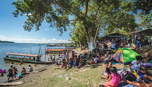
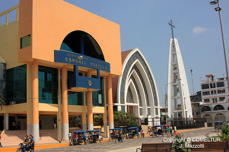
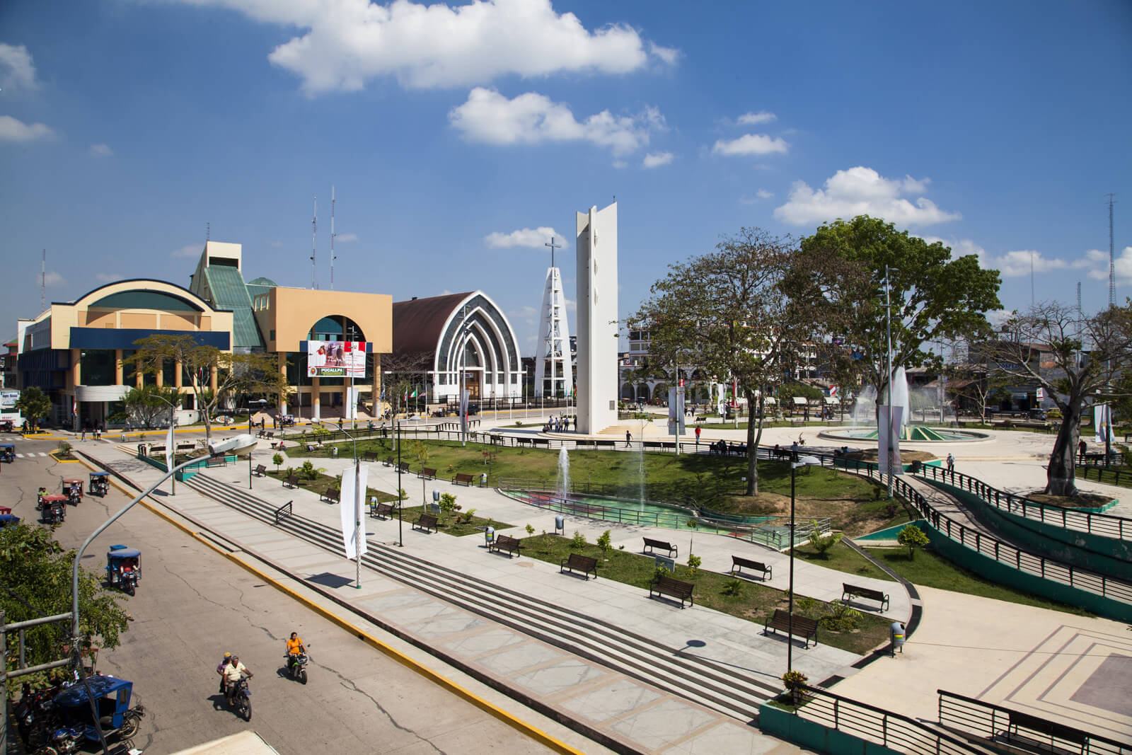
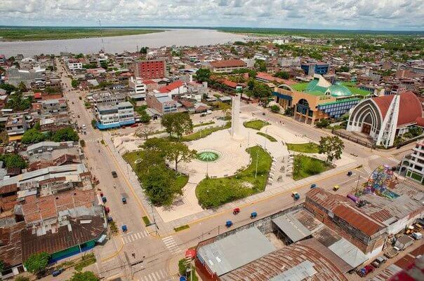
Pucallpa is a city in eastern Peru located on the banks of the Ucayali River, a major tributary of the Amazon River. It is the capital of the Ucayali region, the Coronel Portillo Province and the Calleria District.
Pucallpa was founded in the 1840s by Franciscan missionaries who settled several families of the Shipibo-Conibo ethnic group. For several decades it remained a small settlement as it was isolated from the rest of the country by the Amazon Rainforest and the Andes mountain range. From the 1880s through the 1920s a railway project to connect Pucallpa with the rest of the country via the Ferrocarril Central Andino was started and dropped several times until it was finally abandoned. Pucallpa's isolation finally ended in 1945 with the completion of a highway to Lima through Tingo Maria. The highway allowed the commercialization of regional products to the rest of the country, thus improving the economic outlook of the region and its capital, Pucallpa. However, the heavy rainfalls of the Amazon Rainforest remain a problem as they erode the highway and can even undermine it by causing flash floods. Pucallpa is served by air through the Captain Rolden International Airport and by river through its port Pucallpillo near the center of the city. During the high water season, the floating ports of La Hoyada and Puerto Italia are used for riverine communications. Pucallpa is connected by road to Lima via the cities Huánuco and Cerro de Pasco. The San Lorenzo Megaport Project proposes to connect Lima with the Atlantic via a rail connection to Pucallpa and the Amazon.