Information about the city Ancash
Ancash is a region of northern Peru. It is bordered by La Libertad Region on the north, Huánuco and Pasco regions on the east, the Lima Region on the south, and the Pacific Ocean on the west. Its capital is the city of Huaraz, and its largest city and port is Chimbote. The name of the region originates from the Quechua word anqash (light, of little weight), from anqas (blue) or from anka (eagle). Ancash is a land of contrasts: it features two great longitudinal valleys, which combine the mountain characteristics of the Callejón de Huaylas (Alley of Huaylas) with the sylvan ones of the Alto Marañón. Miles of sandy beaches and the blue waters of the Pacific. The territory of the coast, high plateaux and Andean punas of the Ancash Region are flat, while the rest of the territory, in the Andes, is very rough. In the west, slopes with strong declivity form narrow canyons with abrupt and deserted sides. The rough territory of the region is crossed by two mountain ranges: on the western side, the Cordillera Negra (Spanish for "black mountain range"), which has peaks without glaciers, and on the eastern side, the Cordillera Blanca ("white mountain range"), which has many peaks covered with snow and ice, such as the Huascarán and the Alpamayo. Between these two mountain ranges, the Santa River flows through the so-called Callejón de Huaylas. This valley narrows to form the Cañón del Pato ("duck canyon"). Also along the Pacific slopes, the Santa River has shaped a wide valley in the punas which narrows into the Cordillera Negra, where the Cañón del Pato canyon was formed. The snow-covered peak of Huascarán, highest peak of Peru and second of the Americas, reaches a height of 6,768 m (22,205 ft, 4.2 miles) and contrasts with the 6,263 m (20,548 ft) deep trough of Chimbote found in the ocean west of Ancash. Remnants of glaciers created many lakes such as Llanganuco Lakes and Lake Parón. Following the Pan-American Highway north from Lima, the territory of the region of Ancash begins just beyond the Fortress of Paramonga, between wide fields of sugarcane, and across the Fortaleza River, 206 kilometres (128 mi) from Lima. Along the coast of Ancash, from the Fortaleza River to the Santa River, the Pacific exerts great influence. The Peruvian current and the El Niño current exert considerable and sometimes tragic effect on local lives and regional economies. Normally, the Peruvian current, also known as the Humboldt Current, brings cold water and large numbers of fish. With the development of the shoals of anchoveta, the Ancash ports and creeks became commercial fishing centers. During the 1950s, the bay of Chimbote was the top fishing port of the world. However, when warmer waters from the north, such as the current of El Niño, bring catastrophic rains to the coast and sea, the shoals of anchoveta disappear, leaving the fishing fleets plants paralyzed, and flooding rivers cause serious damage to the lands and cities. The cycles of these two sea currents that affect Peru are hard to predict. Further north along the Pan-American highway, numerous islands and islets dot the sea near the coast. Most are home only to guano seabirds. From south to north, the most important islands include Tortuga Island (Turtle Island), La Viuda Island (The Widow Island), Isla Blanca (White Island) and Santa Island (Holy Island). The coastal region of Peru includes many peninsulas, creeks, warm bays and sand beaches, full of color. Because of the lack of roads and difficult terrain, many of these are inaccessible by land. The most important beaches include Grande Beach, La Gramita Beach and Las Salinas Beach. Much of this coast is a monotonous stretch of huge sand deserts, a common denominator in all Peruvian coastal regions because of the influence of the Humboldt Current. Along the rivers, there are green valleys, cultivated mainly with sugarcane, rice and cotton. From south to north, the main rivers of the Ancash coast are the following: Huarmey, Culebras, Casma, Sechín, Nepeña, Lacramarca and Santa. Of these rivers, the only one with water year-round is the Santa River. Its sources are the glaciers and lakes of the Cordillera Blanca. The other rivers, as with most rivers of the Peruvian coast, are intermittent, depending on the highland rains or the advance of El Niño.
Information about the city Tarapoto
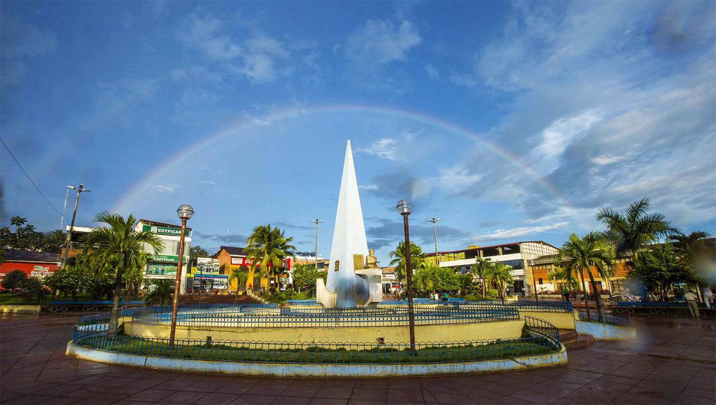
Tarapoto is a commercial hub town in the San Martín Province of the San Martín Region or northern Peru. It is an hour by plane from Lima, in the high jungle plateau to the east of what is known as the selva baja (low jungle). Although Moyobamba is the capital of the region, Tarapoto is the region's largest city and is linked to the Upper Amazon and the historic city of Yurimaguas by a relatively well-maintained transandean highway, paved in 2008-9.
Tarapoto is approximately 356 metres (1,168 ft) above sea level on the high jungle plateau, also called the cloud forest.[3] It was founded in 1782 by Baltazar Martínez Jiménez de Compagnon. According to the 2007 census Tarapoto has a population of 63,484 within the city limits, and over 117,184 inhabitants including the outlying Morales and Banda de Shilcayo districts.
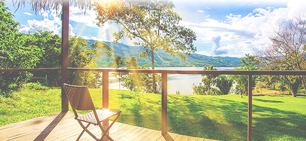
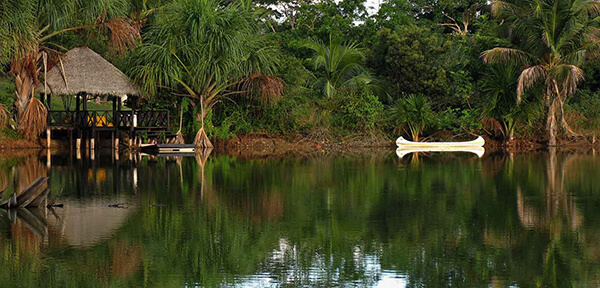
Tarapoto is often used by tourists and local visitors as a base for excursions into the vast Amazon Rainforest. The region's main activities are tourism, commerce, agriculture, and an illicit "shadow economy" that includes production of coca leaves, extraction of lumber, and trading in land concessions.
Tarapoto is home to the Universidad Nacional de San Martín, an important center of higher education serving the professional and technical needs of a region of high biodiversity. With its active nightlife, Tarapoto offers a wide variety of hotels and restaurants in and around the city. Moreover, the area's beautiful landscapes, waterfalls and lagoons form a tempting location for adventure tourism, such as river rafting and hiking in the tropical Andes, and attract numerous visitors to the "City of Palms".
Tarapoto is one hour by air from Lima and is served by the Cad. FAP Guillermo del Castillo Paredes Airport. This airport is the third-most important in Peru in flow of passengers and cargo. It operates flights to and from Lima on a daily basis, as well as being a stopover to other cities, such as Iquitos and Pucallpa, from Lima.
Lima can be reached by bus in approximately 28 hours. The route runs through Moyobamba and Pedro Ruiz before passing through the coastal city of Chiclayo.
Taxis and motorized rickshaws are frequently used as an inexpensive mode of transportation throughout Tarapoto. Due to the types of the engines used in many taxis, main intersections in Tarapoto are extremely noisy, especially at times of busy traffic. However recently there has been an attempt to certify rickshaws that abide by noise pollution standards.