Information about the city Callao
El Callao is the chief seaport of Peru. The city is also called Provincia Constitucional (Constitutional Province), the only province of the Callao Region. The Historic Centre of Callao is located 15 km (9.3 mi) west of Historic Centre of Lima, the country's capital, and is part of the Lima Metropolitan Area. Callao borders Lima Province on the north, east and south, and the Pacific Ocean on the west.
Callao is built on and around a peninsula, the district of La Punta, a wealthy residential neighborhood. A historical fortress, the Castillo de Real Felipe (site of "Rodil's Last Stand"), stands on the promontory overlooking the harbor.
A large naval base is sited in Callao. Its prison holds Abimael Guzmán, the leader of the Shining Path terrorist organization, and Vladimiro Montesinos, the ex-director of internal security during the Fujimori regime.
Jorge Chávez International Airport is located in Callao.
On a bluff overlooking the harbor sits Colegio Militar Leoncio Prado, the military high school. The city also has a university, the National University of Callao.
The main Naval Hospital, Centro Medico Naval is located on Avenida Venezuela in Bellavista. It contains the U.S. Navy command Naval Medical Research Unit Six.
Residents of Callao are known as chalacos.
Callao's professional football teams are Sport Boys and Atlético Chalaco.
Information about the city Pucallpa
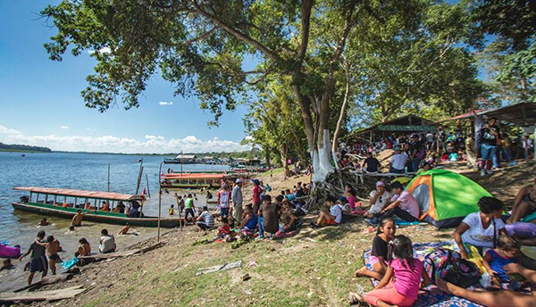
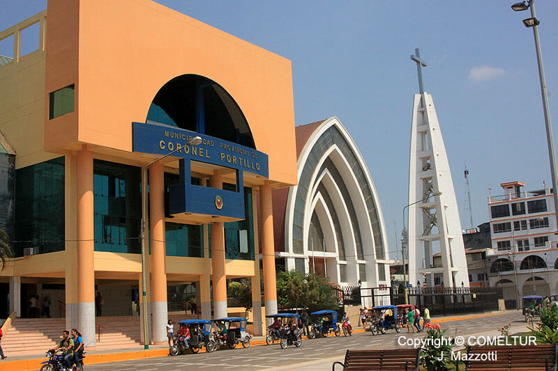
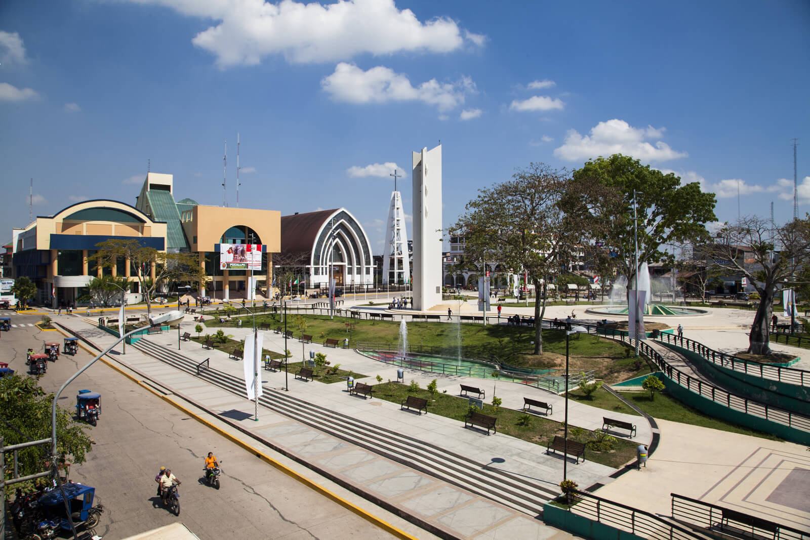
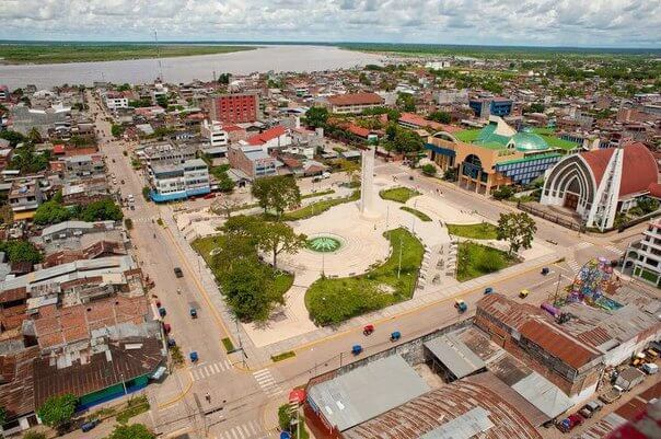
Pucallpa is a city in eastern Peru located on the banks of the Ucayali River, a major tributary of the Amazon River. It is the capital of the Ucayali region, the Coronel Portillo Province and the Calleria District.
Pucallpa was founded in the 1840s by Franciscan missionaries who settled several families of the Shipibo-Conibo ethnic group. For several decades it remained a small settlement as it was isolated from the rest of the country by the Amazon Rainforest and the Andes mountain range. From the 1880s through the 1920s a railway project to connect Pucallpa with the rest of the country via the Ferrocarril Central Andino was started and dropped several times until it was finally abandoned. Pucallpa's isolation finally ended in 1945 with the completion of a highway to Lima through Tingo Maria. The highway allowed the commercialization of regional products to the rest of the country, thus improving the economic outlook of the region and its capital, Pucallpa. However, the heavy rainfalls of the Amazon Rainforest remain a problem as they erode the highway and can even undermine it by causing flash floods. Pucallpa is served by air through the Captain Rolden International Airport and by river through its port Pucallpillo near the center of the city. During the high water season, the floating ports of La Hoyada and Puerto Italia are used for riverine communications. Pucallpa is connected by road to Lima via the cities Huánuco and Cerro de Pasco. The San Lorenzo Megaport Project proposes to connect Lima with the Atlantic via a rail connection to Pucallpa and the Amazon.