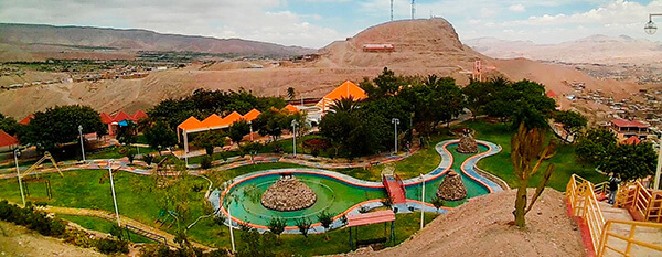
Information about the city Cerro de Pasco
Cerro de Pasco (population 70,000) is a city in central Peru, located at the top of the Andean mountains. It is the capital of the Pasco region, and an important mining center. At 4,330 metres (14,210 ft) elevation, it is one of the highest cities in the world, and the highest or the second highest city with over 50,000 inhabitants, with elevation reaching up to 4,380 m in the Yanacancha area. It is connected by road and by rail to the capital Lima, as far as 300 km.
Cerro de Pasco became one of the world's richest silver producing areas after silver was discovered there in 1630.[2] It is still an active mining center. The Spanish mined the rich Cerro de Pasco silver-bearing oxide ore deposits since colonial times. Sulfide minerals are more common in the Atacocha district however.
Francisco Uville arranged for steam engines made by Richard Trevithick of Cornwall, England, to be installed in Cerro de Pasco in 1816 to pump water from the mines and allow lower levels to be reached. However, fighting in the Peruvian War of Independence brought production to a halt from 1820 to 1825. Three major mines in the area include the Machcan, Atacocha, and Milpo. SIlver ore occurs in hydrothermal veins or as sulfides and clay minerals replacing the Jurassic Pucara limestone. Porphyry dacite stocks are found intruded near the Atacocha and Milpo mines along the Atacocha Fault. Compania Minera Atacocha started operations at the Atacocha Mine in 1936. Ore minerals include galena and sphalerite.
At 4,330 metres (14,210 ft) above sea level, Cerro de Pasco has an (E) Alpine Climate (the average temperature of the warmest month is lower than 10 °C (50 °F)), the city is one of the largest in the world with this classification. Temperatures are too cold to allow for tree growth in and around the city giving the countryside its barren appearance. Cerro de Pasco has humid summers, dry winters and chilly to cold temperatures throughout the year. Snowfall occurs annually.
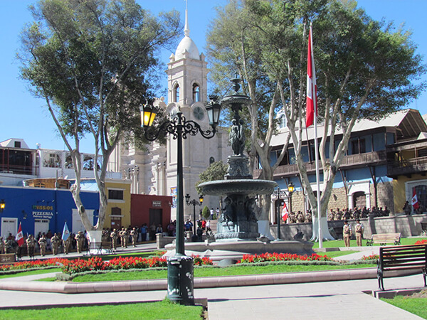
Information about the city Moquegua
Moquegua, founded by the Spanish colonists as Villa de Santa Catalina de Guadalcázar del Valle de Moquegua) is a city in southern Peru, located in the Moquegua Region, of which it is the capital. It is also capital of Mariscal Nieto Province and Moquegua District. It is located 1144 kilometers south of the capital city of Lima.
This region was occupied for thousands of years by successive cultures of indigenous peoples. The Wari culture built numerous monuments, and developed terraced fields to support crop cultivation on hillsides hundreds of years before the Inca conquered them and expanded their territory into this area. Cerro Baúl is the remains of a Wari monumental site, on top of a hill outside of Moquegua.
According to Inca Garcilaso de la Vega, the Inca Emperor Mayta Cápac organized the military expedition that extended the Inca domains to the shore of the Pacific. They overcame other indigenous peoples in the 15th century; in the next century, they were conquered by the Spanish.
There is no definite information about the year of the city's founding by the Spanish. Tradition holds that the colonial city was founded on November 25, 1541, by Pedro Cansino and his wife Josefina de Bilbao.
Moquegua's economy is largely based on mining. Resources include copper, silver, gold and molybdenum. Cuajone and part of Toquepala Mine are located in the Mcal. Nieto Province. A copper smelter and refinery to treat copper concentrates from those mines is located in Ilo province.