Information about the city Cerro de Pasco
Cerro de Pasco (population 70,000) is a city in central Peru, located at the top of the Andean mountains. It is the capital of the Pasco region, and an important mining center. At 4,330 metres (14,210 ft) elevation, it is one of the highest cities in the world, and the highest or the second highest city with over 50,000 inhabitants, with elevation reaching up to 4,380 m in the Yanacancha area. It is connected by road and by rail to the capital Lima, as far as 300 km.
Cerro de Pasco became one of the world's richest silver producing areas after silver was discovered there in 1630.[2] It is still an active mining center. The Spanish mined the rich Cerro de Pasco silver-bearing oxide ore deposits since colonial times. Sulfide minerals are more common in the Atacocha district however.
Francisco Uville arranged for steam engines made by Richard Trevithick of Cornwall, England, to be installed in Cerro de Pasco in 1816 to pump water from the mines and allow lower levels to be reached. However, fighting in the Peruvian War of Independence brought production to a halt from 1820 to 1825. Three major mines in the area include the Machcan, Atacocha, and Milpo. SIlver ore occurs in hydrothermal veins or as sulfides and clay minerals replacing the Jurassic Pucara limestone. Porphyry dacite stocks are found intruded near the Atacocha and Milpo mines along the Atacocha Fault. Compania Minera Atacocha started operations at the Atacocha Mine in 1936. Ore minerals include galena and sphalerite.
At 4,330 metres (14,210 ft) above sea level, Cerro de Pasco has an (E) Alpine Climate (the average temperature of the warmest month is lower than 10 °C (50 °F)), the city is one of the largest in the world with this classification. Temperatures are too cold to allow for tree growth in and around the city giving the countryside its barren appearance. Cerro de Pasco has humid summers, dry winters and chilly to cold temperatures throughout the year. Snowfall occurs annually.
Information about the city Paita
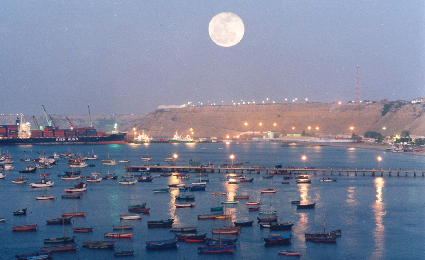
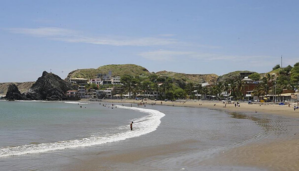
Paita is a city in northwestern Peru. It is the capital of the Paita Province which is in the Piura Region. It is a leading seaport in that region. It is located 1,089 km northwest of the country's capital Lima and 57 km northwest of the regional capital of Piura. Starting in 2014, it has entertained ideas for the separation Paita from Piura Region, proclaiming itself "Miguel Grau region".
The seaport city Paita is located at WikiMiniAtlas05°05′28″S 81°06′23″W on a small peninsula south of the mouth of the Río Chira on an area of 1,785 km². Paita faces on the Bay of Paita, and is sheltered from southerly winds by a headland called Punta Paita and by a large hill called Silla de Paita. 90 km to the south east is the capital of the Piura Region, Piura, and 160 km to the south is located Chiclayo, commercial centre of the Lambayeque region.
In 1875, a railway line of 97 km length was completed from Piura to Paita, but it was destroyed in the war with Chile from 1879 to 1883 and reconstructed in 1884. A street railway opened on 30 August 1891 and ran until the late 1920s.
Today the port of Paita is Peru's fifth largest port and an important container port. It is located in a geopolitically important position on the Pacific coast.
Paita has one of the best natural harbours of the Peruvian coast and runs regular mail steamers between Valparaíso and Panama.