Information about the city Cerro de Pasco
Cerro de Pasco (population 70,000) is a city in central Peru, located at the top of the Andean mountains. It is the capital of the Pasco region, and an important mining center. At 4,330 metres (14,210 ft) elevation, it is one of the highest cities in the world, and the highest or the second highest city with over 50,000 inhabitants, with elevation reaching up to 4,380 m in the Yanacancha area. It is connected by road and by rail to the capital Lima, as far as 300 km.
Cerro de Pasco became one of the world's richest silver producing areas after silver was discovered there in 1630.[2] It is still an active mining center. The Spanish mined the rich Cerro de Pasco silver-bearing oxide ore deposits since colonial times. Sulfide minerals are more common in the Atacocha district however.
Francisco Uville arranged for steam engines made by Richard Trevithick of Cornwall, England, to be installed in Cerro de Pasco in 1816 to pump water from the mines and allow lower levels to be reached. However, fighting in the Peruvian War of Independence brought production to a halt from 1820 to 1825. Three major mines in the area include the Machcan, Atacocha, and Milpo. SIlver ore occurs in hydrothermal veins or as sulfides and clay minerals replacing the Jurassic Pucara limestone. Porphyry dacite stocks are found intruded near the Atacocha and Milpo mines along the Atacocha Fault. Compania Minera Atacocha started operations at the Atacocha Mine in 1936. Ore minerals include galena and sphalerite.
At 4,330 metres (14,210 ft) above sea level, Cerro de Pasco has an (E) Alpine Climate (the average temperature of the warmest month is lower than 10 °C (50 °F)), the city is one of the largest in the world with this classification. Temperatures are too cold to allow for tree growth in and around the city giving the countryside its barren appearance. Cerro de Pasco has humid summers, dry winters and chilly to cold temperatures throughout the year. Snowfall occurs annually.
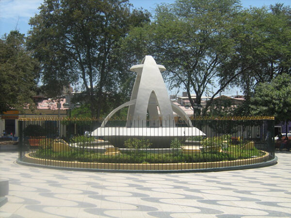
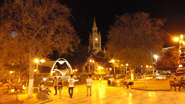
Information about the city Sullana
Sullana is the name of the capital of the Sullana Province, in the north-western coastal plains of Peru on the Chira valley.
The province has a tropical savanna climate and an average temperature of 27°C degrees. The minimum temperature is 16 °C and the maximum temperature is 38 °C (can go over 42 °C mark if the El Niño phenomenon is present). The city is irriganted by the waters of the Chira River, the area around the capital city of Sullana is very fertile and there is much lush, tropical vegetation: Coconut palm trees, banana trees, paddy fields, etc. Sullana is an important commercial centre in one of Peru's major cotton-growing areas, along with the San Martín Region and the smaller Tumbes Region. A new sugar cane plantation has been planted nearby by Maple Ethanol for ethanol production.
The Chira valley has always been an important farming area. Before the Spanish Invasion, ethnic groups like the Tallanes, the Mochicas, the Chimú, and finally the Incas had settled here. This region was chosen by the Spaniards to found their first city in this part of the Americas, San Miguel de Tangarara, on July 15, 1532. The Spaniards changed the native farming system and created Repartimientos and Encomiendas Sullana was founded late in the 18th century, on July 8, 1783, by Bishop Baltazar Jaime Martínez de Compañon y Bufanda and given the name of "El Principe" (The Prince).
Sullana has good bus connections to the north, to Piura in the south, as well as inland to Ayabaca and to La Tina on the Ecuadorian border. In the first week of January the Feria Internacional de los Reyes is celebrated. The Poechos Reservoir, 27 km from the city, offers water sports like water skiing, motor-boating, fishing and swimming.