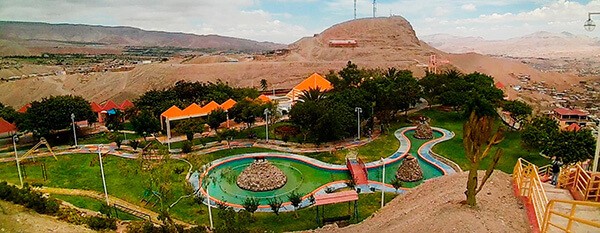
Information about the city Huancavelica
Huancavelica (Spanish pronunciation: [waŋkaβeˈlika]) or Wankawilka in Quechua is a city in Peru. It is the capital of the Huancavelica region and according to the 2007 census had a population of 40,004 people (41,334 in the metropolitan area). The city was established on August 5, 1572 by the Viceroy of Peru Francisco de Toledo. Indigenous peoples represent a major percentage of the population. It has an approximate altitude of 3,660 meters; the climate is cold and dry between the months of February and August with a rainy season between September and January. It is considered one of the poorest cities in Peru.
The Huancavelica area features a rough geography with highly varied elevation, from 1,950 metres in the valleys to more than 5,000 metres on its snow-covered summits. These mountains contain metallic deposits. They consist of the western chain of the Andes, which includes the Chunta mountain range, formed by a series of hills, the most prominent of which are: Sitaq (5,328m), Wamanrasu (5,298m) and Altar (5,268m).
Among the rivers of the region there are the Mantaro, the Pampas, the Huarpa and the Churcampa. The Mantaro River penetrates Huancavelica, forming Tayacaja's Peninsula. Another river that shapes the relief is the Pampas River which is born in the lakes of the high mountains of Huancavelica, Chuqlluqucha and Urququcha.
Buses run from Huancavelica to Huancayo and Lima by a paved road. There is another road that connects it with the city of Pisco in the coast. Buses depart from the terminal terrestre located in the west side of the city.
Huancavelica is serviced by a train which runs between it and Huancayo known as "el Tren Macho". According to popular saying, this train “leaves when it wants and arrives when it can...”.
In 2009, the line between the break-of-gauge at Huancayo to Huancavelica was being converted from 914 mm (3 ft) gauge to 1,435 mm (4 ft 8 1⁄2 in) gauge. By October 2010 it was finished and it is now in service.
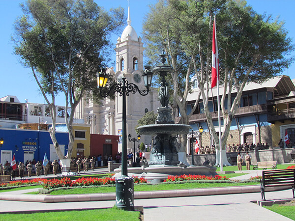
Information about the city Moquegua
Moquegua, founded by the Spanish colonists as Villa de Santa Catalina de Guadalcázar del Valle de Moquegua) is a city in southern Peru, located in the Moquegua Region, of which it is the capital. It is also capital of Mariscal Nieto Province and Moquegua District. It is located 1144 kilometers south of the capital city of Lima.
This region was occupied for thousands of years by successive cultures of indigenous peoples. The Wari culture built numerous monuments, and developed terraced fields to support crop cultivation on hillsides hundreds of years before the Inca conquered them and expanded their territory into this area. Cerro Baúl is the remains of a Wari monumental site, on top of a hill outside of Moquegua.
According to Inca Garcilaso de la Vega, the Inca Emperor Mayta Cápac organized the military expedition that extended the Inca domains to the shore of the Pacific. They overcame other indigenous peoples in the 15th century; in the next century, they were conquered by the Spanish.
There is no definite information about the year of the city's founding by the Spanish. Tradition holds that the colonial city was founded on November 25, 1541, by Pedro Cansino and his wife Josefina de Bilbao.
Moquegua's economy is largely based on mining. Resources include copper, silver, gold and molybdenum. Cuajone and part of Toquepala Mine are located in the Mcal. Nieto Province. A copper smelter and refinery to treat copper concentrates from those mines is located in Ilo province.