
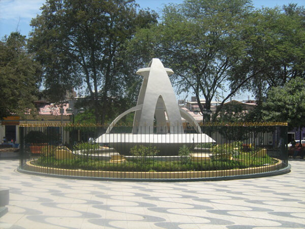
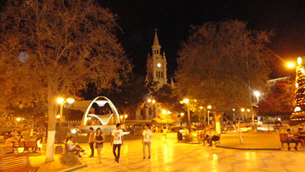
Information about the city Huancavelica
Huancavelica (Spanish pronunciation: [waŋkaβeˈlika]) or Wankawilka in Quechua is a city in Peru. It is the capital of the Huancavelica region and according to the 2007 census had a population of 40,004 people (41,334 in the metropolitan area). The city was established on August 5, 1572 by the Viceroy of Peru Francisco de Toledo. Indigenous peoples represent a major percentage of the population. It has an approximate altitude of 3,660 meters; the climate is cold and dry between the months of February and August with a rainy season between September and January. It is considered one of the poorest cities in Peru.
The Huancavelica area features a rough geography with highly varied elevation, from 1,950 metres in the valleys to more than 5,000 metres on its snow-covered summits. These mountains contain metallic deposits. They consist of the western chain of the Andes, which includes the Chunta mountain range, formed by a series of hills, the most prominent of which are: Sitaq (5,328m), Wamanrasu (5,298m) and Altar (5,268m).
Among the rivers of the region there are the Mantaro, the Pampas, the Huarpa and the Churcampa. The Mantaro River penetrates Huancavelica, forming Tayacaja's Peninsula. Another river that shapes the relief is the Pampas River which is born in the lakes of the high mountains of Huancavelica, Chuqlluqucha and Urququcha.
Buses run from Huancavelica to Huancayo and Lima by a paved road. There is another road that connects it with the city of Pisco in the coast. Buses depart from the terminal terrestre located in the west side of the city.
Huancavelica is serviced by a train which runs between it and Huancayo known as "el Tren Macho". According to popular saying, this train “leaves when it wants and arrives when it can...”.
In 2009, the line between the break-of-gauge at Huancayo to Huancavelica was being converted from 914 mm (3 ft) gauge to 1,435 mm (4 ft 8 1⁄2 in) gauge. By October 2010 it was finished and it is now in service.
Information about the city Sullana
Sullana is the name of the capital of the Sullana Province, in the north-western coastal plains of Peru on the Chira valley.
The province has a tropical savanna climate and an average temperature of 27°C degrees. The minimum temperature is 16 °C and the maximum temperature is 38 °C (can go over 42 °C mark if the El Niño phenomenon is present). The city is irriganted by the waters of the Chira River, the area around the capital city of Sullana is very fertile and there is much lush, tropical vegetation: Coconut palm trees, banana trees, paddy fields, etc. Sullana is an important commercial centre in one of Peru's major cotton-growing areas, along with the San Martín Region and the smaller Tumbes Region. A new sugar cane plantation has been planted nearby by Maple Ethanol for ethanol production.
The Chira valley has always been an important farming area. Before the Spanish Invasion, ethnic groups like the Tallanes, the Mochicas, the Chimú, and finally the Incas had settled here. This region was chosen by the Spaniards to found their first city in this part of the Americas, San Miguel de Tangarara, on July 15, 1532. The Spaniards changed the native farming system and created Repartimientos and Encomiendas Sullana was founded late in the 18th century, on July 8, 1783, by Bishop Baltazar Jaime Martínez de Compañon y Bufanda and given the name of "El Principe" (The Prince).
Sullana has good bus connections to the north, to Piura in the south, as well as inland to Ayabaca and to La Tina on the Ecuadorian border. In the first week of January the Feria Internacional de los Reyes is celebrated. The Poechos Reservoir, 27 km from the city, offers water sports like water skiing, motor-boating, fishing and swimming.