Information about the city Huancavelica
Huancavelica (Spanish pronunciation: [waŋkaβeˈlika]) or Wankawilka in Quechua is a city in Peru. It is the capital of the Huancavelica region and according to the 2007 census had a population of 40,004 people (41,334 in the metropolitan area). The city was established on August 5, 1572 by the Viceroy of Peru Francisco de Toledo. Indigenous peoples represent a major percentage of the population. It has an approximate altitude of 3,660 meters; the climate is cold and dry between the months of February and August with a rainy season between September and January. It is considered one of the poorest cities in Peru.
The Huancavelica area features a rough geography with highly varied elevation, from 1,950 metres in the valleys to more than 5,000 metres on its snow-covered summits. These mountains contain metallic deposits. They consist of the western chain of the Andes, which includes the Chunta mountain range, formed by a series of hills, the most prominent of which are: Sitaq (5,328m), Wamanrasu (5,298m) and Altar (5,268m).
Among the rivers of the region there are the Mantaro, the Pampas, the Huarpa and the Churcampa. The Mantaro River penetrates Huancavelica, forming Tayacaja's Peninsula. Another river that shapes the relief is the Pampas River which is born in the lakes of the high mountains of Huancavelica, Chuqlluqucha and Urququcha.
Buses run from Huancavelica to Huancayo and Lima by a paved road. There is another road that connects it with the city of Pisco in the coast. Buses depart from the terminal terrestre located in the west side of the city.
Huancavelica is serviced by a train which runs between it and Huancayo known as "el Tren Macho". According to popular saying, this train “leaves when it wants and arrives when it can...”.
In 2009, the line between the break-of-gauge at Huancayo to Huancavelica was being converted from 914 mm (3 ft) gauge to 1,435 mm (4 ft 8 1⁄2 in) gauge. By October 2010 it was finished and it is now in service.
Information about the city Tarapoto
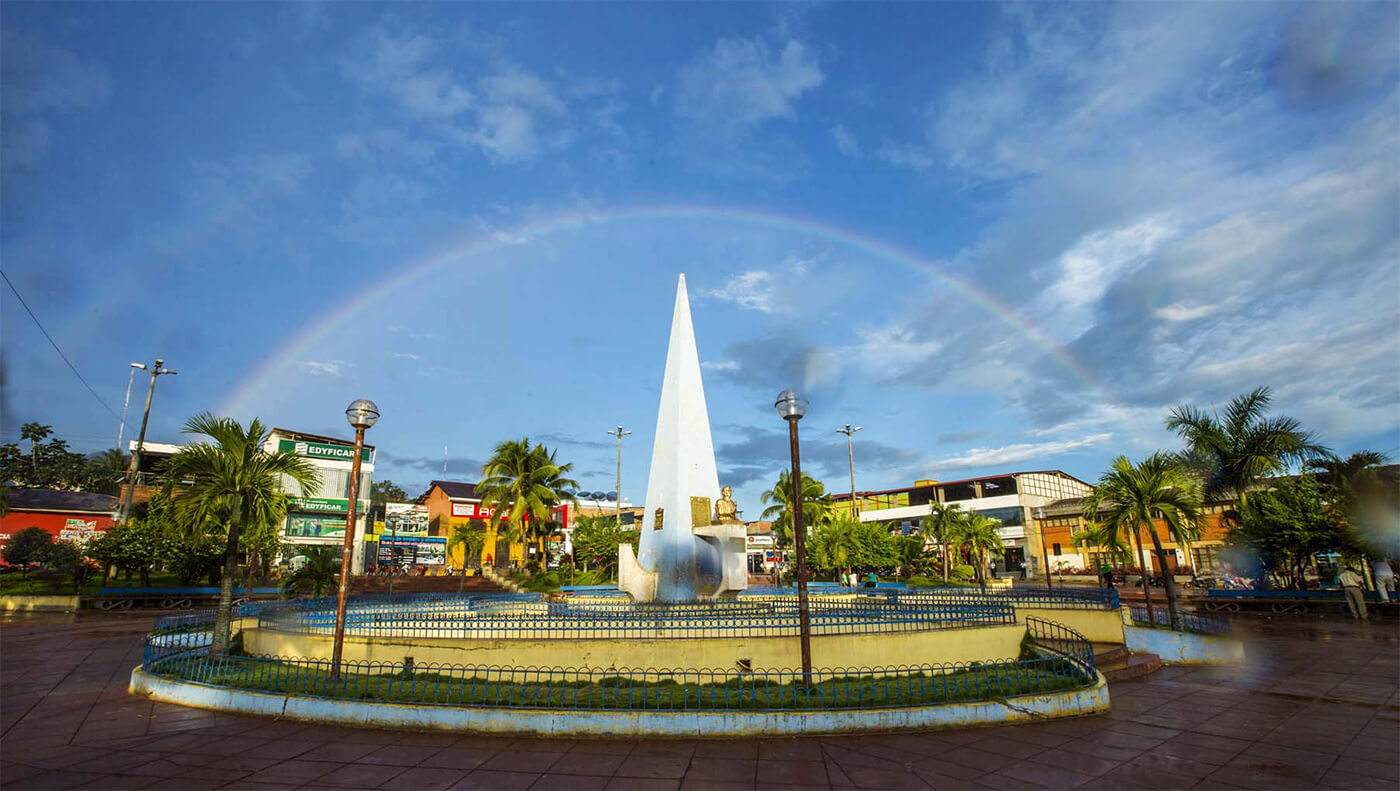
Tarapoto is a commercial hub town in the San Martín Province of the San Martín Region or northern Peru. It is an hour by plane from Lima, in the high jungle plateau to the east of what is known as the selva baja (low jungle). Although Moyobamba is the capital of the region, Tarapoto is the region's largest city and is linked to the Upper Amazon and the historic city of Yurimaguas by a relatively well-maintained transandean highway, paved in 2008-9.
Tarapoto is approximately 356 metres (1,168 ft) above sea level on the high jungle plateau, also called the cloud forest.[3] It was founded in 1782 by Baltazar Martínez Jiménez de Compagnon. According to the 2007 census Tarapoto has a population of 63,484 within the city limits, and over 117,184 inhabitants including the outlying Morales and Banda de Shilcayo districts.
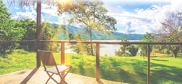
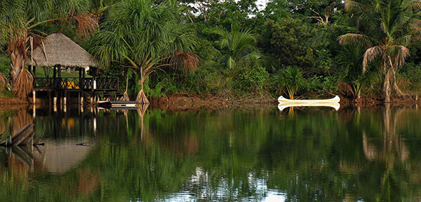
Tarapoto is often used by tourists and local visitors as a base for excursions into the vast Amazon Rainforest. The region's main activities are tourism, commerce, agriculture, and an illicit "shadow economy" that includes production of coca leaves, extraction of lumber, and trading in land concessions.
Tarapoto is home to the Universidad Nacional de San Martín, an important center of higher education serving the professional and technical needs of a region of high biodiversity. With its active nightlife, Tarapoto offers a wide variety of hotels and restaurants in and around the city. Moreover, the area's beautiful landscapes, waterfalls and lagoons form a tempting location for adventure tourism, such as river rafting and hiking in the tropical Andes, and attract numerous visitors to the "City of Palms".
Tarapoto is one hour by air from Lima and is served by the Cad. FAP Guillermo del Castillo Paredes Airport. This airport is the third-most important in Peru in flow of passengers and cargo. It operates flights to and from Lima on a daily basis, as well as being a stopover to other cities, such as Iquitos and Pucallpa, from Lima.
Lima can be reached by bus in approximately 28 hours. The route runs through Moyobamba and Pedro Ruiz before passing through the coastal city of Chiclayo.
Taxis and motorized rickshaws are frequently used as an inexpensive mode of transportation throughout Tarapoto. Due to the types of the engines used in many taxis, main intersections in Tarapoto are extremely noisy, especially at times of busy traffic. However recently there has been an attempt to certify rickshaws that abide by noise pollution standards.