Information about the city Huancayo
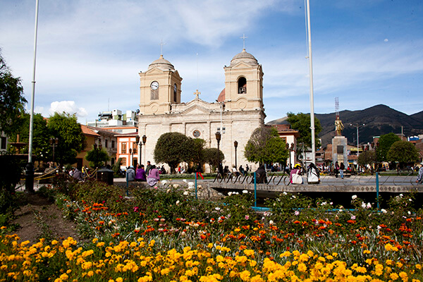
Huancayo is the capital of Junín Region, in the central highlands of Peru. Huancayo is located in Huancayo Province, of which it is also the capital. Situated in the Mantaro Valley at an altitude of 3,271 meters, it belongs to the Quechua region. Depending on delimitation, the agglomeration has a population between 340,000 and 380,000 and is the fifth most populous city of the country. Huancayo is the cultural and commercial center of the whole central Peruvian Andes area.
According to the National Census of 2007 the three main districts of Huancayo have a total population of about 340,000. However, the continuous settlement area have already reached periurban districts, resulting in the agglomeration's population to be at least 380,000 people. Amerindian and Mestizos (Amerindian and Spanish ancestry) are the two largest ethnic groups in the city. Asian (mainly descendants of Japanese and Chinese immigrants) and European descendants are important minority groups.
Huancayo has transportation connections by air, road and rail. The Francisco Carle Airport at Jauja offers daily connections to Lima and is located 45 minutes via car from Huancayo. Current airlines include LATAM Peru, LC Peru, and Peruvian Airlines. To travel by road, the Carretera Central links Huancayo with La Oroya and Lima, which generally takes 7 to 8 hours. Multiple bus carriers operate between Lima and Huancayo daily. The Ferrocarril Central Andino enables transport by rail. Huancayo was a break-of-gauge from 914 mm (3 ft) gauge to 1,435 mm (4 ft 8 1⁄2 in) gauge; for the 147 km extension to Huancavelica. In 2009, this line was being standardized.
Information about the city Huancavelica
Huancavelica (Spanish pronunciation: [waŋkaβeˈlika]) or Wankawilka in Quechua is a city in Peru. It is the capital of the Huancavelica region and according to the 2007 census had a population of 40,004 people (41,334 in the metropolitan area). The city was established on August 5, 1572 by the Viceroy of Peru Francisco de Toledo. Indigenous peoples represent a major percentage of the population. It has an approximate altitude of 3,660 meters; the climate is cold and dry between the months of February and August with a rainy season between September and January. It is considered one of the poorest cities in Peru.
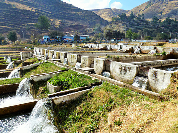
The Huancavelica area features a rough geography with highly varied elevation, from 1,950 metres in the valleys to more than 5,000 metres on its snow-covered summits. These mountains contain metallic deposits. They consist of the western chain of the Andes, which includes the Chunta mountain range, formed by a series of hills, the most prominent of which are: Sitaq (5,328m), Wamanrasu (5,298m) and Altar (5,268m).
Among the rivers of the region there are the Mantaro, the Pampas, the Huarpa and the Churcampa. The Mantaro River penetrates Huancavelica, forming Tayacaja's Peninsula. Another river that shapes the relief is the Pampas River which is born in the lakes of the high mountains of Huancavelica, Chuqlluqucha and Urququcha.
Buses run from Huancavelica to Huancayo and Lima by a paved road. There is another road that connects it with the city of Pisco in the coast. Buses depart from the terminal terrestre located in the west side of the city.
Huancavelica is serviced by a train which runs between it and Huancayo known as "el Tren Macho". According to popular saying, this train “leaves when it wants and arrives when it can...”.
In 2009, the line between the break-of-gauge at Huancayo to Huancavelica was being converted from 914 mm (3 ft) gauge to 1,435 mm (4 ft 8 1⁄2 in) gauge. By October 2010 it was finished and it is now in service.