Information about the city Huancayo
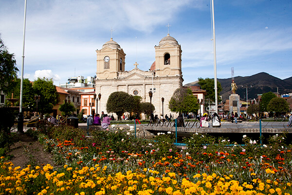
Huancayo is the capital of Junín Region, in the central highlands of Peru. Huancayo is located in Huancayo Province, of which it is also the capital. Situated in the Mantaro Valley at an altitude of 3,271 meters, it belongs to the Quechua region. Depending on delimitation, the agglomeration has a population between 340,000 and 380,000 and is the fifth most populous city of the country. Huancayo is the cultural and commercial center of the whole central Peruvian Andes area.
According to the National Census of 2007 the three main districts of Huancayo have a total population of about 340,000. However, the continuous settlement area have already reached periurban districts, resulting in the agglomeration's population to be at least 380,000 people. Amerindian and Mestizos (Amerindian and Spanish ancestry) are the two largest ethnic groups in the city. Asian (mainly descendants of Japanese and Chinese immigrants) and European descendants are important minority groups.
Huancayo has transportation connections by air, road and rail. The Francisco Carle Airport at Jauja offers daily connections to Lima and is located 45 minutes via car from Huancayo. Current airlines include LATAM Peru, LC Peru, and Peruvian Airlines. To travel by road, the Carretera Central links Huancayo with La Oroya and Lima, which generally takes 7 to 8 hours. Multiple bus carriers operate between Lima and Huancayo daily. The Ferrocarril Central Andino enables transport by rail. Huancayo was a break-of-gauge from 914 mm (3 ft) gauge to 1,435 mm (4 ft 8 1⁄2 in) gauge; for the 147 km extension to Huancavelica. In 2009, this line was being standardized.
Information about the city Pucallpa
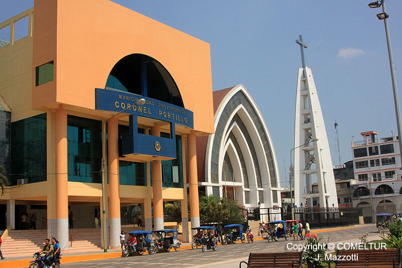
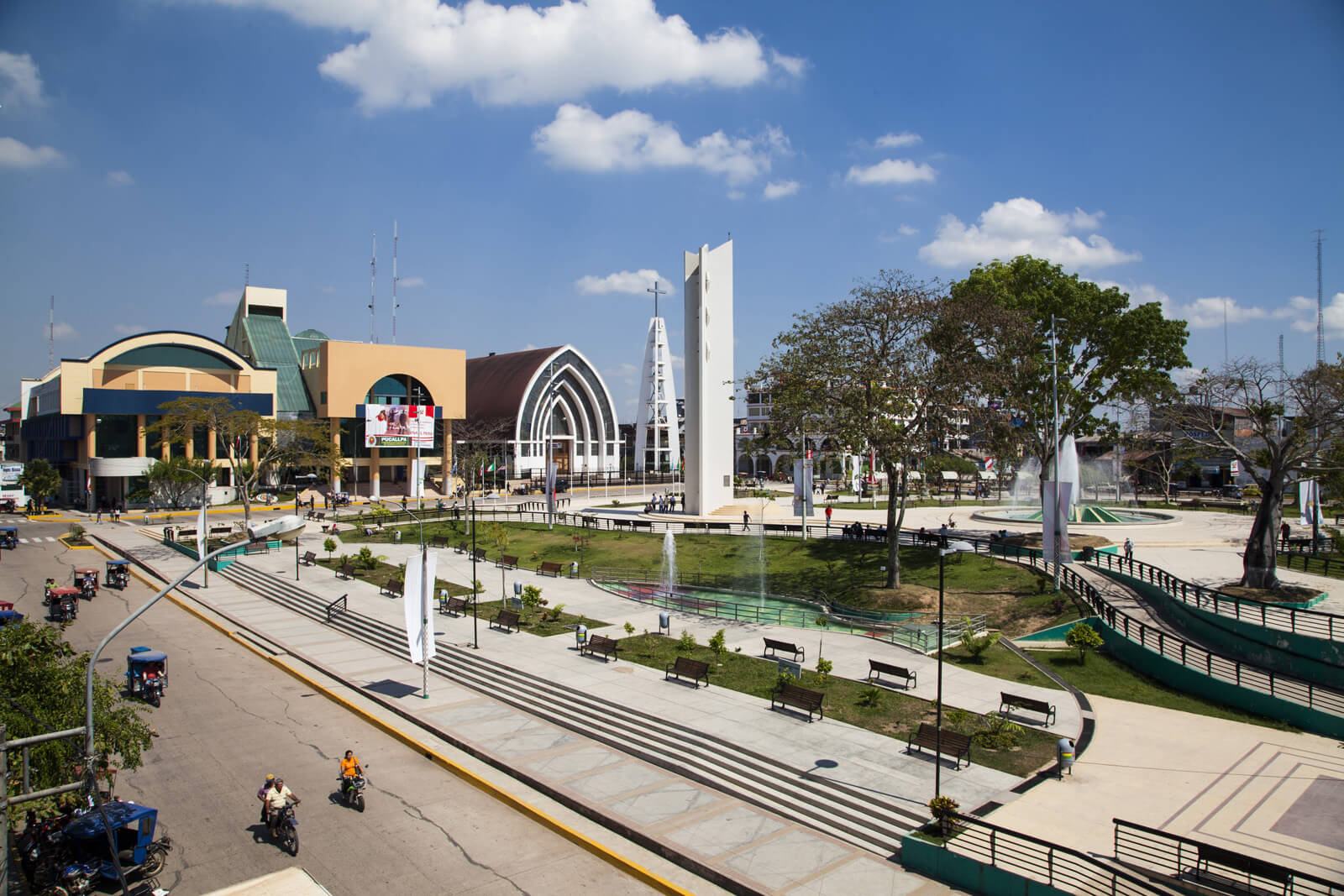
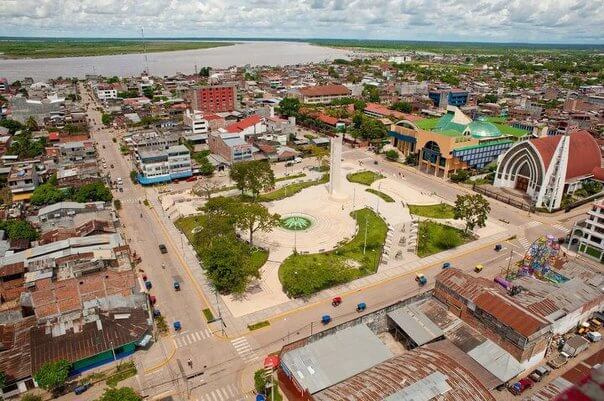
Pucallpa is a city in eastern Peru located on the banks of the Ucayali River, a major tributary of the Amazon River. It is the capital of the Ucayali region, the Coronel Portillo Province and the Calleria District.
Pucallpa was founded in the 1840s by Franciscan missionaries who settled several families of the Shipibo-Conibo ethnic group. For several decades it remained a small settlement as it was isolated from the rest of the country by the Amazon Rainforest and the Andes mountain range. From the 1880s through the 1920s a railway project to connect Pucallpa with the rest of the country via the Ferrocarril Central Andino was started and dropped several times until it was finally abandoned. Pucallpa's isolation finally ended in 1945 with the completion of a highway to Lima through Tingo Maria. The highway allowed the commercialization of regional products to the rest of the country, thus improving the economic outlook of the region and its capital, Pucallpa. However, the heavy rainfalls of the Amazon Rainforest remain a problem as they erode the highway and can even undermine it by causing flash floods. Pucallpa is served by air through the Captain Rolden International Airport and by river through its port Pucallpillo near the center of the city. During the high water season, the floating ports of La Hoyada and Puerto Italia are used for riverine communications. Pucallpa is connected by road to Lima via the cities Huánuco and Cerro de Pasco. The San Lorenzo Megaport Project proposes to connect Lima with the Atlantic via a rail connection to Pucallpa and the Amazon.