Information about the city Huarmey
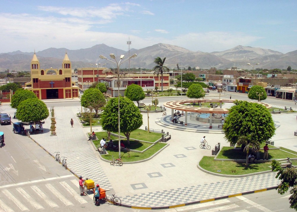
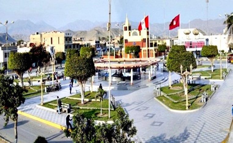
Huarmey is a coastal town in the Ancash Region, Peru. It is one of the five districts and also the capital of the Province of Huarmey. It is located crossing the Pan-American highway from south to north after leaving the department of Lima in Paramonga and at 82 km from the Fortaleza river. It was created by law 24034 on December 20, 1984.
At certain times of the year, the settlers fish abundant and flavorful shrimps in the Huarmey River. This river fertilizes the valley and flows from south to north.
The port of Huarmey is located at 5 km to the south, through a detour that begins in the Pan-American highway.
From Huarmey to the next important city, Casma, there are 83 km of distance.
This city is not very well developed yet, but it is one of the main cities of the Ancash Region and one of the most impressively attractive too. Huarmey has its own beautiful beaches that do not have anything to envy to the other beaches of the country. It is a very nice place to camp, practice surf or just take a refreshing splash in its beaches. The most important disadvantage is that the water is very cold, in spite of the high temperatures of the city, all the year round.
Huarmey is the site of the Punta Lobos massacre, a 14th-century pre-Columbian Chimú human sacrifice and mass burial site.
Information about the city La Libertad
La Libertad is a region in northwestern Peru. Formerly it was known as the Department of La Libertad (Departamento de La Libertad). It is bordered by the Lambayeque, Cajamarca and Amazonas regions on the north, the San Martín Region on the east, the Ancash and Huánuco regions on the south and the Pacific Ocean on the west. Its capital is Trujillo, which is the nation's third biggest city. The region's main port is Salaverry, one of Peru's largest ports. The name of the region is Spanish for "freedom" or "liberty"; it was named in honor of the Intendencia of Trujillo's proclaiming independence from Spain in 1820 and fighting for that.
During the viceroyalty of Peru, the La Libertad region, together with the present-day regions of Lambayeque, Piura and Tumbes regions in Peru, and Guayaquil and El Oro Province in Ecuador, were all within the jurisdiction of the Intendencía de Trujillo. These were included in the domain of the city of Trujillo; together they comprised the Departamento de Trujillo of the viceroyalty.
After the Intendencía joined the emancipation cause and was the first to gain independence from Spain, in 1825 the Congress of the Peruvian republic changed the name to Departmento de la Libertad. Since the late 20th century, Peru has decentralized its government. All former Departments in Peru are now called Regions; their governors are elected, and they have more independent authority in decisionmaking.
La Libertad is the only Peruvian region that includes all three natural regions of the nation: coast, Sierra (highlands), and selva (rainforest).
Trujillo, the capital, has a strategic location, near where the Andes come closest to the coast. Seen from Trujillo, the Andes appears as a row of low-elevation hills. The Andean Plateau increases altitude sharply to the east, in the provinces of Otuzco and Santiago de Chuco. These two provinces comprise the Pacific hydrographic watershed, which give rise to the Moche and Virú rivers, to the south, and Chicama River to the north. Pacasmayo Province, located more to the north, is along the coast. To the east, Sánchez Carrión Province waterways drain into the Amazon River and thus belong to the Atlantic Ocean watershed.