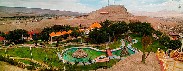
Information about the city La Libertad
La Libertad is a region in northwestern Peru. Formerly it was known as the Department of La Libertad (Departamento de La Libertad). It is bordered by the Lambayeque, Cajamarca and Amazonas regions on the north, the San Martín Region on the east, the Ancash and Huánuco regions on the south and the Pacific Ocean on the west. Its capital is Trujillo, which is the nation's third biggest city. The region's main port is Salaverry, one of Peru's largest ports. The name of the region is Spanish for "freedom" or "liberty"; it was named in honor of the Intendencia of Trujillo's proclaiming independence from Spain in 1820 and fighting for that.
During the viceroyalty of Peru, the La Libertad region, together with the present-day regions of Lambayeque, Piura and Tumbes regions in Peru, and Guayaquil and El Oro Province in Ecuador, were all within the jurisdiction of the Intendencía de Trujillo. These were included in the domain of the city of Trujillo; together they comprised the Departamento de Trujillo of the viceroyalty.
After the Intendencía joined the emancipation cause and was the first to gain independence from Spain, in 1825 the Congress of the Peruvian republic changed the name to Departmento de la Libertad. Since the late 20th century, Peru has decentralized its government. All former Departments in Peru are now called Regions; their governors are elected, and they have more independent authority in decisionmaking.
La Libertad is the only Peruvian region that includes all three natural regions of the nation: coast, Sierra (highlands), and selva (rainforest).
Trujillo, the capital, has a strategic location, near where the Andes come closest to the coast. Seen from Trujillo, the Andes appears as a row of low-elevation hills. The Andean Plateau increases altitude sharply to the east, in the provinces of Otuzco and Santiago de Chuco. These two provinces comprise the Pacific hydrographic watershed, which give rise to the Moche and Virú rivers, to the south, and Chicama River to the north. Pacasmayo Province, located more to the north, is along the coast. To the east, Sánchez Carrión Province waterways drain into the Amazon River and thus belong to the Atlantic Ocean watershed.
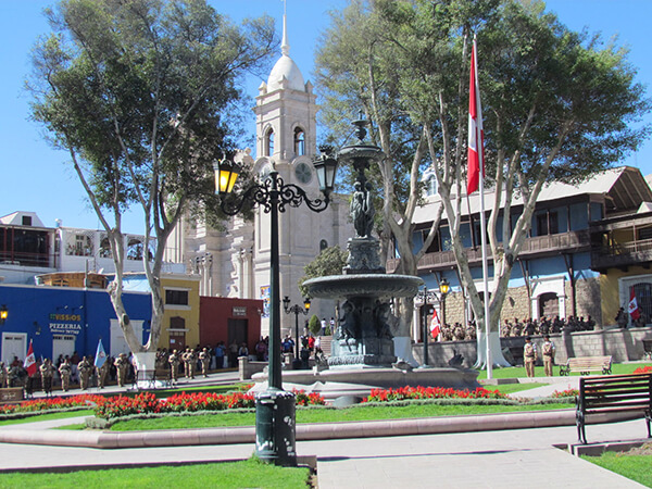
Information about the city Moquegua
Moquegua, founded by the Spanish colonists as Villa de Santa Catalina de Guadalcázar del Valle de Moquegua) is a city in southern Peru, located in the Moquegua Region, of which it is the capital. It is also capital of Mariscal Nieto Province and Moquegua District. It is located 1144 kilometers south of the capital city of Lima.
This region was occupied for thousands of years by successive cultures of indigenous peoples. The Wari culture built numerous monuments, and developed terraced fields to support crop cultivation on hillsides hundreds of years before the Inca conquered them and expanded their territory into this area. Cerro Baúl is the remains of a Wari monumental site, on top of a hill outside of Moquegua.
According to Inca Garcilaso de la Vega, the Inca Emperor Mayta Cápac organized the military expedition that extended the Inca domains to the shore of the Pacific. They overcame other indigenous peoples in the 15th century; in the next century, they were conquered by the Spanish.
There is no definite information about the year of the city's founding by the Spanish. Tradition holds that the colonial city was founded on November 25, 1541, by Pedro Cansino and his wife Josefina de Bilbao.
Moquegua's economy is largely based on mining. Resources include copper, silver, gold and molybdenum. Cuajone and part of Toquepala Mine are located in the Mcal. Nieto Province. A copper smelter and refinery to treat copper concentrates from those mines is located in Ilo province.