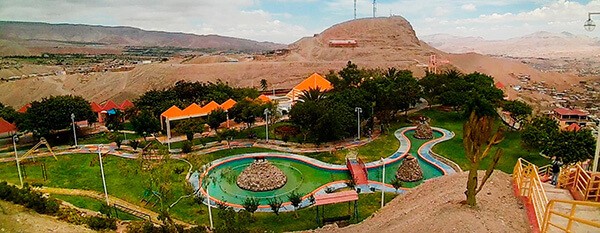
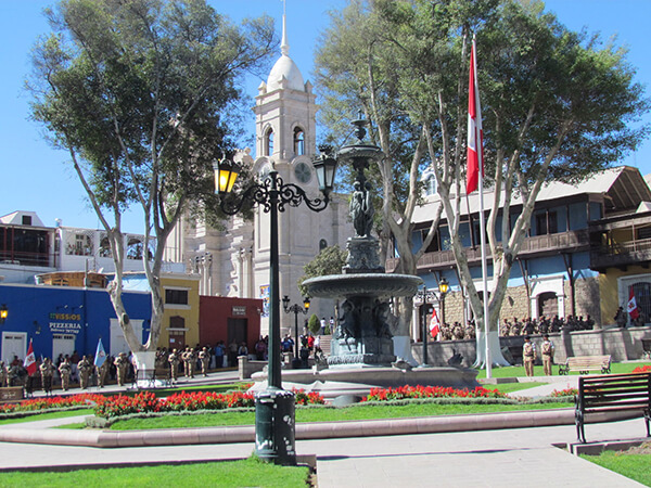
Information about the city Moquegua
Moquegua, founded by the Spanish colonists as Villa de Santa Catalina de Guadalcázar del Valle de Moquegua) is a city in southern Peru, located in the Moquegua Region, of which it is the capital. It is also capital of Mariscal Nieto Province and Moquegua District. It is located 1144 kilometers south of the capital city of Lima.
This region was occupied for thousands of years by successive cultures of indigenous peoples. The Wari culture built numerous monuments, and developed terraced fields to support crop cultivation on hillsides hundreds of years before the Inca conquered them and expanded their territory into this area. Cerro Baúl is the remains of a Wari monumental site, on top of a hill outside of Moquegua.
According to Inca Garcilaso de la Vega, the Inca Emperor Mayta Cápac organized the military expedition that extended the Inca domains to the shore of the Pacific. They overcame other indigenous peoples in the 15th century; in the next century, they were conquered by the Spanish.
There is no definite information about the year of the city's founding by the Spanish. Tradition holds that the colonial city was founded on November 25, 1541, by Pedro Cansino and his wife Josefina de Bilbao.
Moquegua's economy is largely based on mining. Resources include copper, silver, gold and molybdenum. Cuajone and part of Toquepala Mine are located in the Mcal. Nieto Province. A copper smelter and refinery to treat copper concentrates from those mines is located in Ilo province.
Information about the city Tingo María
Tingo María is the capital of Leoncio Prado Province in the Huánuco Region in central Peru. It has an urban population of around 55,000 (June 2007).
Tingo María was considered unreachable until 1936, when the Montaña Road reached the settlement. It was then that the state run Estacion Experimental Agricola was established due to its "comfortable" elevation (2,204 ft). In 1942, the U.S. Government began adding more funding to the station, and by 1960 over 40,000 acres (160 km²) of land were under cultivation, especially along the Huallaga River valley where land was level. Coffee was a particularly valuable crop. The city nickname is "the Door of the Amazonia."
The city is placed where two important rivers meet; the Monzón and the Huallaga river, a main contributor of the Marañón river. The city headquarters the National University of the Forest (UNAS-www.unas.edu.pe); it has 7 faculties, a botanical park, and first level facilities. Near the city there is the Tingo María National Park of 180 km² (43,000 acres (170 km2)) that preserves nature and a limestone mountain range in the shape of a woman that sleeps. It is called La Bella Durmiente (Spanish for Sleeping Beauty) or Pumarinri (Quechua for "cougar ear"). A legend explains the form of the range. The main attraction is a cave named Cueva de las Lechuzas (Spanish for "cave of the owls") (named after a colony of the superficially owl-like Oilbird found in it), probably the most attractive and accessible cave of Peru, though it is not the longest and deepest.
Tingo María has an airport served daily by regional jets and turbo-prop airplanes. A well-paved main road, now called "the Federico Basadre" Highway crosses the city halfway from Lima to Pucallpa; 16 km going to the east it meets the Marginal Highway that follows the river to the north and arrives at Tarapoto. A main road that comes from Casma port, on the coast of Ancash department, is being worked now. This road reinforces the position of Tingo María as a regional and national hub.
The mayor is Juan Picón Quedo, part of a local business family. A relevant industry working on Cacao is the Cooperativa Agroindustrial Naranjillo, that sells its products to foreign markets.