
Information about the city Paita
Paita is a city in northwestern Peru. It is the capital of the Paita Province which is in the Piura Region. It is a leading seaport in that region. It is located 1,089 km northwest of the country's capital Lima and 57 km northwest of the regional capital of Piura. Starting in 2014, it has entertained ideas for the separation Paita from Piura Region, proclaiming itself "Miguel Grau region".
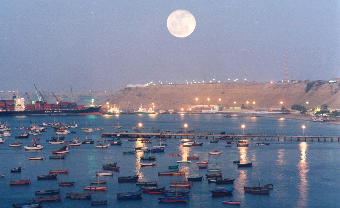
The seaport city Paita is located at WikiMiniAtlas05°05′28″S 81°06′23″W on a small peninsula south of the mouth of the Río Chira on an area of 1,785 km². Paita faces on the Bay of Paita, and is sheltered from southerly winds by a headland called Punta Paita and by a large hill called Silla de Paita. 90 km to the south east is the capital of the Piura Region, Piura, and 160 km to the south is located Chiclayo, commercial centre of the Lambayeque region.
In 1875, a railway line of 97 km length was completed from Piura to Paita, but it was destroyed in the war with Chile from 1879 to 1883 and reconstructed in 1884. A street railway opened on 30 August 1891 and ran until the late 1920s.
Today the port of Paita is Peru's fifth largest port and an important container port. It is located in a geopolitically important position on the Pacific coast.
Paita has one of the best natural harbours of the Peruvian coast and runs regular mail steamers between Valparaíso and Panama.
Information about the city Tarapoto
Tarapoto is a commercial hub town in the San Martín Province of the San Martín Region or northern Peru. It is an hour by plane from Lima, in the high jungle plateau to the east of what is known as the selva baja (low jungle). Although Moyobamba is the capital of the region, Tarapoto is the region's largest city and is linked to the Upper Amazon and the historic city of Yurimaguas by a relatively well-maintained transandean highway, paved in 2008-9.
Tarapoto is approximately 356 metres (1,168 ft) above sea level on the high jungle plateau, also called the cloud forest.[3] It was founded in 1782 by Baltazar Martínez Jiménez de Compagnon. According to the 2007 census Tarapoto has a population of 63,484 within the city limits, and over 117,184 inhabitants including the outlying Morales and Banda de Shilcayo districts.
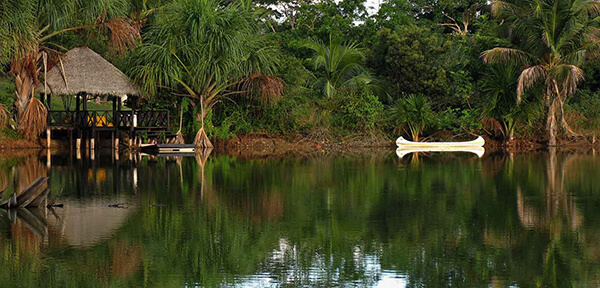
Tarapoto is often used by tourists and local visitors as a base for excursions into the vast Amazon Rainforest. The region's main activities are tourism, commerce, agriculture, and an illicit "shadow economy" that includes production of coca leaves, extraction of lumber, and trading in land concessions.
Tarapoto is home to the Universidad Nacional de San Martín, an important center of higher education serving the professional and technical needs of a region of high biodiversity. With its active nightlife, Tarapoto offers a wide variety of hotels and restaurants in and around the city. Moreover, the area's beautiful landscapes, waterfalls and lagoons form a tempting location for adventure tourism, such as river rafting and hiking in the tropical Andes, and attract numerous visitors to the "City of Palms".
Tarapoto is one hour by air from Lima and is served by the Cad. FAP Guillermo del Castillo Paredes Airport. This airport is the third-most important in Peru in flow of passengers and cargo. It operates flights to and from Lima on a daily basis, as well as being a stopover to other cities, such as Iquitos and Pucallpa, from Lima.
Lima can be reached by bus in approximately 28 hours. The route runs through Moyobamba and Pedro Ruiz before passing through the coastal city of Chiclayo.
Taxis and motorized rickshaws are frequently used as an inexpensive mode of transportation throughout Tarapoto. Due to the types of the engines used in many taxis, main intersections in Tarapoto are extremely noisy, especially at times of busy traffic. However recently there has been an attempt to certify rickshaws that abide by noise pollution standards.