Pucallpa to San Vicente de Cañete
04/01/2026
Information about the city Pucallpa
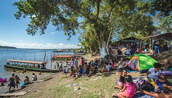
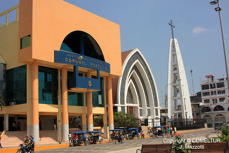
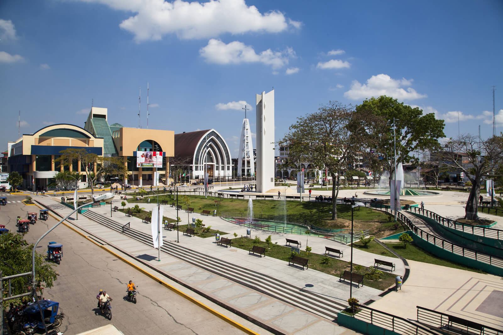
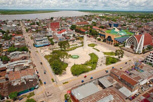
Pucallpa is a city in eastern Peru located on the banks of the Ucayali River, a major tributary of the Amazon River. It is the capital of the Ucayali region, the Coronel Portillo Province and the Calleria District.
Pucallpa was founded in the 1840s by Franciscan missionaries who settled several families of the Shipibo-Conibo ethnic group. For several decades it remained a small settlement as it was isolated from the rest of the country by the Amazon Rainforest and the Andes mountain range. From the 1880s through the 1920s a railway project to connect Pucallpa with the rest of the country via the Ferrocarril Central Andino was started and dropped several times until it was finally abandoned. Pucallpa's isolation finally ended in 1945 with the completion of a highway to Lima through Tingo Maria. The highway allowed the commercialization of regional products to the rest of the country, thus improving the economic outlook of the region and its capital, Pucallpa. However, the heavy rainfalls of the Amazon Rainforest remain a problem as they erode the highway and can even undermine it by causing flash floods. Pucallpa is served by air through the Captain Rolden International Airport and by river through its port Pucallpillo near the center of the city. During the high water season, the floating ports of La Hoyada and Puerto Italia are used for riverine communications. Pucallpa is connected by road to Lima via the cities Huánuco and Cerro de Pasco. The San Lorenzo Megaport Project proposes to connect Lima with the Atlantic via a rail connection to Pucallpa and the Amazon.
Information about the city San Vicente de Cañete
San Vicente de Cañete, commonly known simply as Cañete, is a town in Peru, which is the capital of the Cañete Province, in the Lima Region. With a population of 25,829 (1999 estimate), Cañete is the main town of the San Vicente de Cañete District.
The warm and peaceful town of Cañete is located just one and a half hour to the south of Lima (144 km) and serves, for tourists, primarily as a gateway to the Lunahuaná District. The Plaza de Armas lies on 2 de Mayo, a few blocks inland from the spot on the Pan-American Highway, where buses pause for passengers to get on or off. All buses heading south from Lima or north to Lima on the Pan-American Highway pass through Cañete. This is one of the most important homes of the most representative liquor from Peru: the Pisco.
Cerro Azul, Peru is a district north of the city centre San Vicente de Cañete.
The first inhabitants of these lands were the Huarcos. Later, the area was inhabited by descendants of slaves forced to work on the plantations. The slaves and their descendents lived here. The slaves arrived from Guinea, the Congo, and Angola, brought to the Peruvian coast during the seventeenth and eighteenth centuries to work in the cotton and sugar cane fields and in the vineyards.
It also has a district called Asia which has a lot of beaches which people from Lima rent houses and there is also a mall called Sur Plaza Boulevard.