Information about the city Pucallpa
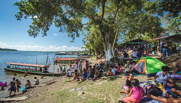
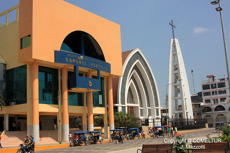
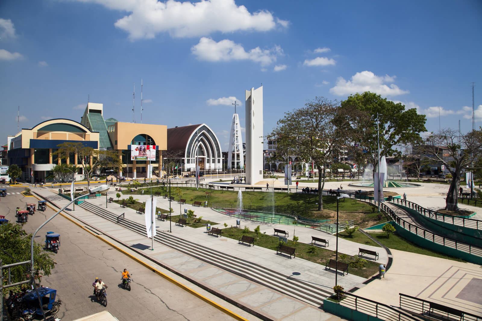
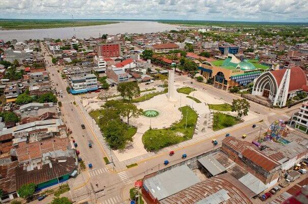
Pucallpa is a city in eastern Peru located on the banks of the Ucayali River, a major tributary of the Amazon River. It is the capital of the Ucayali region, the Coronel Portillo Province and the Calleria District.
Pucallpa was founded in the 1840s by Franciscan missionaries who settled several families of the Shipibo-Conibo ethnic group. For several decades it remained a small settlement as it was isolated from the rest of the country by the Amazon Rainforest and the Andes mountain range. From the 1880s through the 1920s a railway project to connect Pucallpa with the rest of the country via the Ferrocarril Central Andino was started and dropped several times until it was finally abandoned. Pucallpa's isolation finally ended in 1945 with the completion of a highway to Lima through Tingo Maria. The highway allowed the commercialization of regional products to the rest of the country, thus improving the economic outlook of the region and its capital, Pucallpa. However, the heavy rainfalls of the Amazon Rainforest remain a problem as they erode the highway and can even undermine it by causing flash floods. Pucallpa is served by air through the Captain Rolden International Airport and by river through its port Pucallpillo near the center of the city. During the high water season, the floating ports of La Hoyada and Puerto Italia are used for riverine communications. Pucallpa is connected by road to Lima via the cities Huánuco and Cerro de Pasco. The San Lorenzo Megaport Project proposes to connect Lima with the Atlantic via a rail connection to Pucallpa and the Amazon.
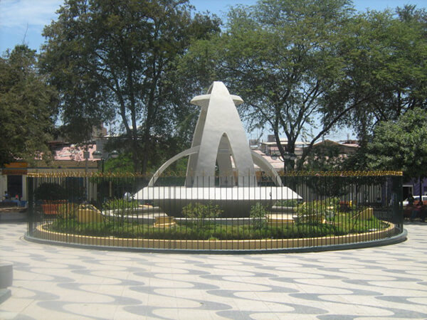
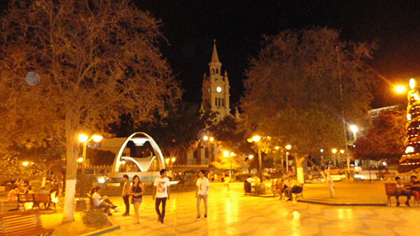
Information about the city Sullana
Sullana is the name of the capital of the Sullana Province, in the north-western coastal plains of Peru on the Chira valley.
The province has a tropical savanna climate and an average temperature of 27°C degrees. The minimum temperature is 16 °C and the maximum temperature is 38 °C (can go over 42 °C mark if the El Niño phenomenon is present). The city is irriganted by the waters of the Chira River, the area around the capital city of Sullana is very fertile and there is much lush, tropical vegetation: Coconut palm trees, banana trees, paddy fields, etc. Sullana is an important commercial centre in one of Peru's major cotton-growing areas, along with the San Martín Region and the smaller Tumbes Region. A new sugar cane plantation has been planted nearby by Maple Ethanol for ethanol production.
The Chira valley has always been an important farming area. Before the Spanish Invasion, ethnic groups like the Tallanes, the Mochicas, the Chimú, and finally the Incas had settled here. This region was chosen by the Spaniards to found their first city in this part of the Americas, San Miguel de Tangarara, on July 15, 1532. The Spaniards changed the native farming system and created Repartimientos and Encomiendas Sullana was founded late in the 18th century, on July 8, 1783, by Bishop Baltazar Jaime Martínez de Compañon y Bufanda and given the name of "El Principe" (The Prince).
Sullana has good bus connections to the north, to Piura in the south, as well as inland to Ayabaca and to La Tina on the Ecuadorian border. In the first week of January the Feria Internacional de los Reyes is celebrated. The Poechos Reservoir, 27 km from the city, offers water sports like water skiing, motor-boating, fishing and swimming.