Information about the city Puerto Maldonado
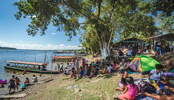
Puerto Maldonado is a city in southeastern Peru in the Amazon rainforest 55 kilometres (34 mi) west of the Bolivian border; located at the confluence of the Tambopata and Madre de Dios rivers, the latter of which joins the Madeira River as a tributary of the Amazon. It is the capital of the Madre de Dios Region.
Nearby are the Manú National Park, Tambopata National Reserve, and Bahuaja-Sonene National Park, which have been established to protect natural resources. These are some of the most pristine primary rain forests in the world. They include several oxbow lakes and clay licks, where hundreds of birds, including macaws, feed on clay.
Puerto Maldonado is in the tropical Amazon Basin. The climate is hot and humid at all times. The average annual temperature is 26 °C (79 °F) with the months of August and September being the hottest. Annual rainfall exceeds 1,000 millimetres (3.3 ft). The wet season is from October to April. The main part of the town is located on a slightly elevated area that does not normally flood in the wet season. Road travel often becomes impossible during this time. A low season occurs between June and August.
The chief industries in Puerto Maldonado are logging, artisanal small-scale gold mining,[8] Brazil nut collecting, boat building and eco-tourism. The area is virtually logged out; only one mill remains. The area was exploited for rubber in the late 19th-century and early 20th-century rubber boom, but South American production was undercut by the industry developed in southeast Asia. Rubber collection has long since ended.
At least 30,000 gold miners are active in the region around Puerto Maldonado.[8] Legislation in the European Union in the 21st century resulted in putting hundreds of Brazil nut collectors out of work, together with the crew of the associated local factory, as it raised tariffs against the product.
Tourism and related boat construction are currently the major sources of income in the economy. There are several tourist eco-lodges around Puerto Maldonado and in the reserves.
Information about the city Pucallpa
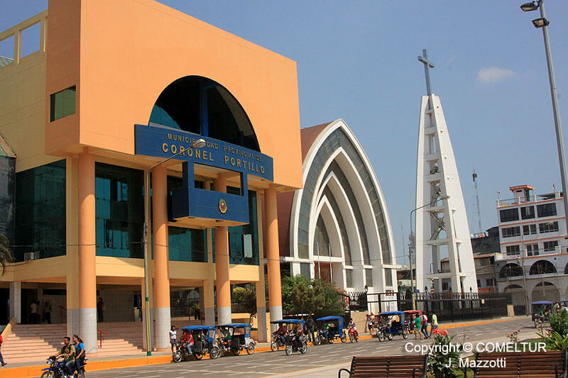
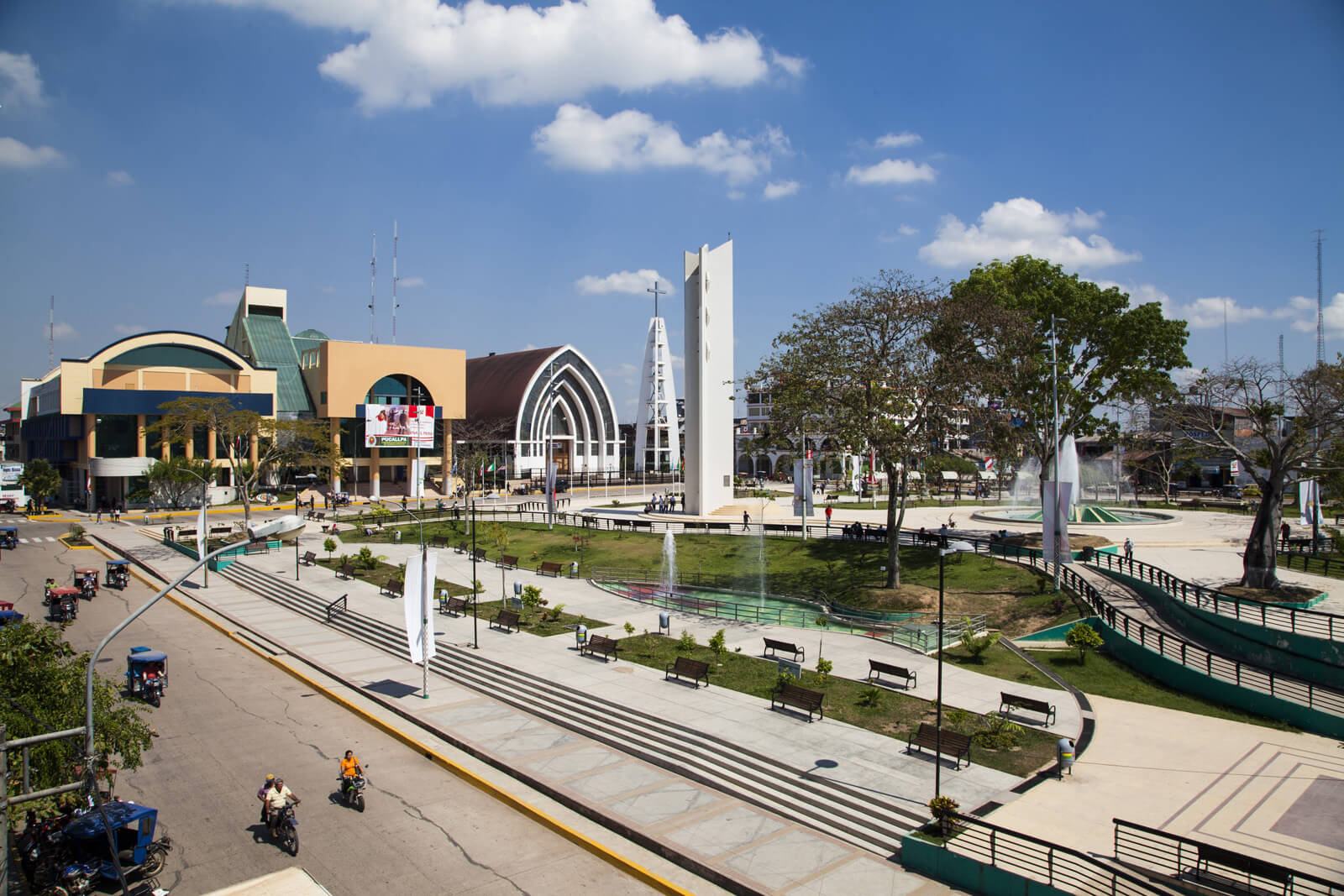
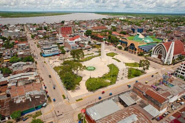
Pucallpa is a city in eastern Peru located on the banks of the Ucayali River, a major tributary of the Amazon River. It is the capital of the Ucayali region, the Coronel Portillo Province and the Calleria District.
Pucallpa was founded in the 1840s by Franciscan missionaries who settled several families of the Shipibo-Conibo ethnic group. For several decades it remained a small settlement as it was isolated from the rest of the country by the Amazon Rainforest and the Andes mountain range. From the 1880s through the 1920s a railway project to connect Pucallpa with the rest of the country via the Ferrocarril Central Andino was started and dropped several times until it was finally abandoned. Pucallpa's isolation finally ended in 1945 with the completion of a highway to Lima through Tingo Maria. The highway allowed the commercialization of regional products to the rest of the country, thus improving the economic outlook of the region and its capital, Pucallpa. However, the heavy rainfalls of the Amazon Rainforest remain a problem as they erode the highway and can even undermine it by causing flash floods. Pucallpa is served by air through the Captain Rolden International Airport and by river through its port Pucallpillo near the center of the city. During the high water season, the floating ports of La Hoyada and Puerto Italia are used for riverine communications. Pucallpa is connected by road to Lima via the cities Huánuco and Cerro de Pasco. The San Lorenzo Megaport Project proposes to connect Lima with the Atlantic via a rail connection to Pucallpa and the Amazon.