
Information about the city Puerto Maldonado
Puerto Maldonado is a city in southeastern Peru in the Amazon rainforest 55 kilometres (34 mi) west of the Bolivian border; located at the confluence of the Tambopata and Madre de Dios rivers, the latter of which joins the Madeira River as a tributary of the Amazon. It is the capital of the Madre de Dios Region.
Nearby are the Manú National Park, Tambopata National Reserve, and Bahuaja-Sonene National Park, which have been established to protect natural resources. These are some of the most pristine primary rain forests in the world. They include several oxbow lakes and clay licks, where hundreds of birds, including macaws, feed on clay.
Puerto Maldonado is in the tropical Amazon Basin. The climate is hot and humid at all times. The average annual temperature is 26 °C (79 °F) with the months of August and September being the hottest. Annual rainfall exceeds 1,000 millimetres (3.3 ft). The wet season is from October to April. The main part of the town is located on a slightly elevated area that does not normally flood in the wet season. Road travel often becomes impossible during this time. A low season occurs between June and August.
The chief industries in Puerto Maldonado are logging, artisanal small-scale gold mining,[8] Brazil nut collecting, boat building and eco-tourism. The area is virtually logged out; only one mill remains. The area was exploited for rubber in the late 19th-century and early 20th-century rubber boom, but South American production was undercut by the industry developed in southeast Asia. Rubber collection has long since ended.
At least 30,000 gold miners are active in the region around Puerto Maldonado.[8] Legislation in the European Union in the 21st century resulted in putting hundreds of Brazil nut collectors out of work, together with the crew of the associated local factory, as it raised tariffs against the product.
Tourism and related boat construction are currently the major sources of income in the economy. There are several tourist eco-lodges around Puerto Maldonado and in the reserves.
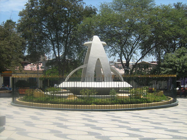
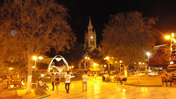
Information about the city Sullana
Sullana is the name of the capital of the Sullana Province, in the north-western coastal plains of Peru on the Chira valley.
The province has a tropical savanna climate and an average temperature of 27°C degrees. The minimum temperature is 16 °C and the maximum temperature is 38 °C (can go over 42 °C mark if the El Niño phenomenon is present). The city is irriganted by the waters of the Chira River, the area around the capital city of Sullana is very fertile and there is much lush, tropical vegetation: Coconut palm trees, banana trees, paddy fields, etc. Sullana is an important commercial centre in one of Peru's major cotton-growing areas, along with the San Martín Region and the smaller Tumbes Region. A new sugar cane plantation has been planted nearby by Maple Ethanol for ethanol production.
The Chira valley has always been an important farming area. Before the Spanish Invasion, ethnic groups like the Tallanes, the Mochicas, the Chimú, and finally the Incas had settled here. This region was chosen by the Spaniards to found their first city in this part of the Americas, San Miguel de Tangarara, on July 15, 1532. The Spaniards changed the native farming system and created Repartimientos and Encomiendas Sullana was founded late in the 18th century, on July 8, 1783, by Bishop Baltazar Jaime Martínez de Compañon y Bufanda and given the name of "El Principe" (The Prince).
Sullana has good bus connections to the north, to Piura in the south, as well as inland to Ayabaca and to La Tina on the Ecuadorian border. In the first week of January the Feria Internacional de los Reyes is celebrated. The Poechos Reservoir, 27 km from the city, offers water sports like water skiing, motor-boating, fishing and swimming.